A functional mini-map
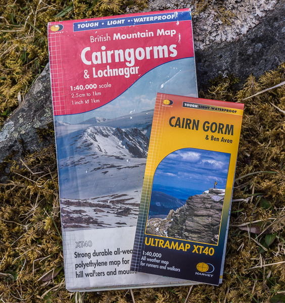
Back in March I wrote a piece for this column about Harvey’s British Mountain Maps, saying they were my favourite maps. Now Harvey has brought out a new series of maps that might well usurp them. Ultramaps are really small yet still have the same 1:40,000 scale as the British Mountain Maps. I have the Cairn Gorm one and it measures just 15 x 7.25cms so it can easily be slipped into a small pocket. It weighs just 24 grams too.
This miniature map doesn’t cover the same area as the Cairngorms British Mountain Map of course. The Southern Cairngorms and Lochnagar are missing. But the whole of the Northern Cairngorms from Glen Feshie to Loch Builg and Braemar is covered. That’s enough for many days walking.
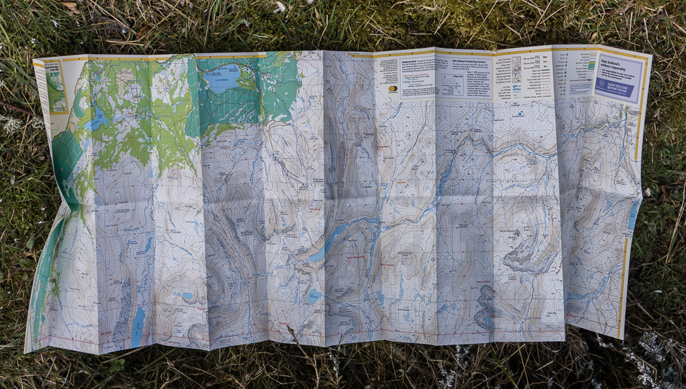
As well as being small Ultramaps have a clever functional design. They’re double-sided and the sides are aligned so you can just flip the map over when you reach the edge without having to refold it. A narrow overlap means you don’t have to work out where you are when you turn the map over. An even better feature is the concertina-like folding pattern which means you can open the map to any section on either side and it never needs refolding, making the map easy to use in windy weather. No trying to refold a large flapping sheet now. Like the British Mountain Maps Ultramaps are also waterproof so no map case is needed.

Initially there are sixteen Ultramaps, all costing £9.95. Four cover the Lake District, four the Yorkshire Dales and three the Peak District. There’s just one for Snowdonia so far and in Scotland ones for Ben Nevis, Glen Coe, and Ben Lawers as well as Cairn Gorm.
I think Ultramaps are superbly practical. For areas they cover bigger maps can be relegated to back-ups. I can see that soon handling big maps outdoors will seem very old-fashioned.


