Roger Butler takes an old railway line to King’s Tor to walk the sculptural and weather-beaten outskirts of Dartmoor.
The wild heart of Dartmoor is infamously boggy, but you don’t always need to hike into the squidgy interior to enjoy this granite-hewn landscape, where bronze-coloured heath sweeps in every direction and hilltops always seem to be capped with a sculptural weatherbeaten tor.
The line of the former Princetown Railway, high to the east of Tavistock, provides straight-forward access to a number of granite outcrops but also serves up some fascinating history: a scattering of ancient hut settlements, wriggling leats that once took fresh water down to Plymouth, and quarries where stonemasons grafted to create Nelson’s Column. There are fine views too: the eerie shapes and shadows around distant Great Mis Tor and the deep wooded valleys down by the River Tamar. From up here, Cornwall looks like a faraway kingdom.
The walk also cuts across open moorland to North Hessary Tor and returns via tussocky Walkhampton Common and a couple of rocky tops. You’ll even peep over the gaunt rooftops of Dartmoor Prison!
Words and images: Roger Butler
King’s Tor & Walkhampton Common: route guide
Start/Finish: Car park by small pool on south side of B3212 (GR: SX557706) | Distance: 8 miles/12.9km | Ascent: 1,000ft/305m | Duration: 4 to 5 hours | Maps: OS Explorer OL28 – Dartmoor (1:25k), OS Landranger 191 – Okehampton & North Dartmoor (1:50k)
1. SX557706 Cross the road from the car park and trend right for 500m, alongside the earthworks of an ancient boundary. Turn left onto a bridleway track and walk downhill for 500m to an old railway track – until 1956 this was an exposed singletrack branch line that meandered up and across the moors to Princetown.

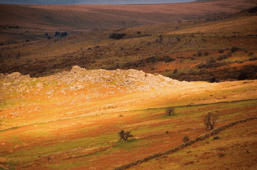
A shaft of sunlight bursts across Ingra Tor.
Credit: Roger Butler
2. SX555715 Turn right and follow the good track for 3.5km, initially past old walled enclosures at Routrundle and soon followed by Ingra Tor on the right. A wide bend contours below the disused quarries at Sewelltor and the track continues to sweep east around King’s Tor. Leave the track here and clamber up to the top with fine views over the woods in the valley of the River Walkham.

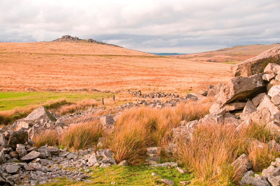
Looking north to Great Staple Tor from the old walled enclosures near King’s Tor. Credit: Roger Butler
3. SX556738 Descend south-east to cross the railway track and continue east across the open moor for 600m to the former workings at Foggintor. There’s plenty to explore here with a hidden flooded quarry and a range of ruined buildings – there was even a school and a chapel up here in the 19th Century. Pass to the left of the large flooded pit and walk north-east for 1.5km, uphill with no path, towards North Hessary Tor (with its landmark transmitter mast standing almost 200m high).

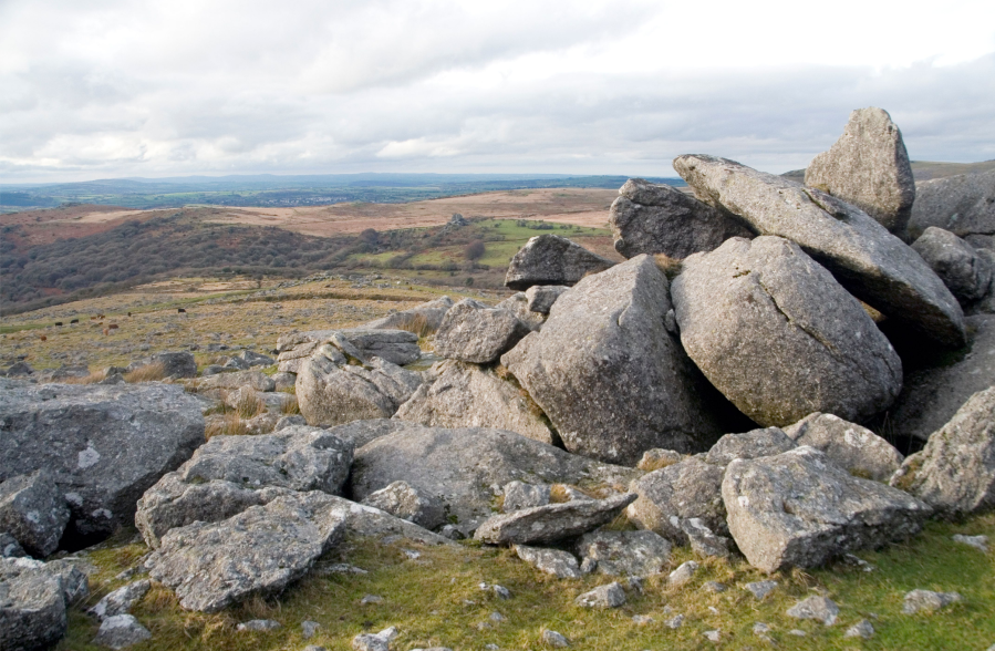
King’s Tor seen from the old quarry at Foggintor – Nelson’s Column originated here.
Credit: Roger Butler
4. SX578741 Walk south-south-west from the top for almost 1km and re-cross the railway track. Veer right for 400m to avoid boggy ground and continue south then south-west (again no path) for 1.4km to the top of Leeden Tor, capped by weirdly eroded granite outcrops and a cluster of hut circles.
5. SX562716 Walk south from the top for 800m and cross the road to reach the jumble of rocks on Sharpitor after 500m. Descend north-west for 450m to return to the start.
Further information
Transport: The nearest station is Plymouth, from where buses run north to Yelverton, 5km from the start. See stagecoachbus.com for timetables.
Information: Dartmoor National Park Visitor Cente at Princetown (01822 890414)
Nearest YHA: YHA Dartmoor


