Alex Roddie takes in some of the finest viewpoints in the North Lakes – as well as two Wainwrights – on this varied walk to Bleaberry Fell and High Seat from Keswick.
The Lake District is a place of huge variety, encompassing fells, moorland, woods, lakes, and a long history of human habitation – and some of the finest walks embrace this variety. Keswick is one of the most popular centres for walking in the Lake District. While Skiddaw and Blencathra are there to scratch the itch for big, impressive mountains, lower fells to the east of Derwent Water still have plenty to offer – including, arguably, views that are just as good but require less effort. This circuit takes in Walla Crag, with its superb views out over the lake, then heads for the moors before reaching Bleaberry Fell and continuing to High Seat.
The return journey is just as interesting. After crossing Dodd, there is a steep descent to the edge of the lake, and then pleasant easy walking through lakeside woods back to the start. This varied walk from Keswick takes in some of the finest viewpoints in the North Lakes – as well as two Wainwrights for those bagging their way around the national park’s high places.
Bleaberry Fell and High Seat: route description
START/FINISH: Derwent Water Lakeside Car Park, NY266230 | MAPS: OS 1:25,000 Explorer sheet OL4 (Keswick, Cockermouth & Wigton), OS 1:50,000 Landranger sheet 90 (Penrith & Keswick), Harvey 1:40,000 British Mountain Map (Lake District) | DISTANCE: 15.5km / 9.6 miles | ASCENT: 658m / 2,159ft | DURATION: 4 to 5 hours
1. NY266230: Starting from the car park, take the path heading SE beside Cockshot Wood, then cross the B5289 and walk through Castlehead Wood, climbing left of the hill summit.
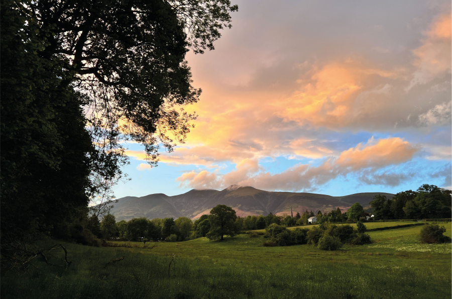
Views to Skiddaw on the way through Castlehead Wood.
Credit: Alex Roddie
2. NY272229: Join a tarmac lane and turn right, heading away from the town. After about 800m the lane ends at a small tea room. Take the path continuing SE through woodland, which soon begins to climb right of a stream, gently at first and then steeply.
3. NY283223: Where the path joins a lane, turn right and follow it for 200m until past a farm, and then cross a footbridge to take the footpath climbing almost due S on the left-hand side of a wall.
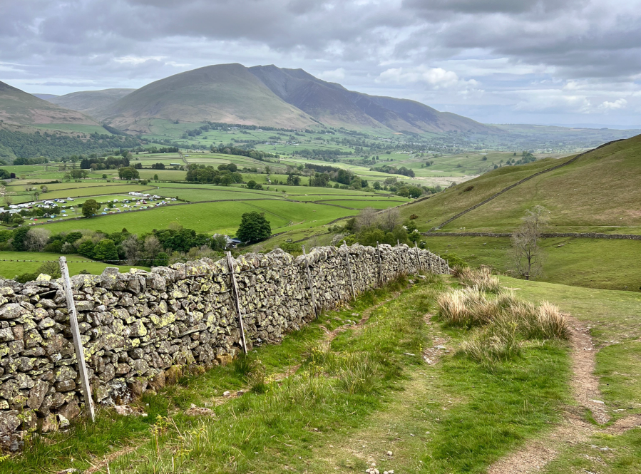
Looking back to Blencathra.
Credit: Alex Roddie
4. NY279215: The gradient eases as the path approaches a wall. Do not continue left of the wall; instead, head through the gap and follow an undulating path that winds its way between stands of woodland, with excellent views down to Derwent Water and north to Keswick, Skiddaw, and Blencathra. The summit of Walla Crag, at 379m, is soon reached. Continue past the rocky summit area with cairn to rejoin the original path on the other side of the wall.
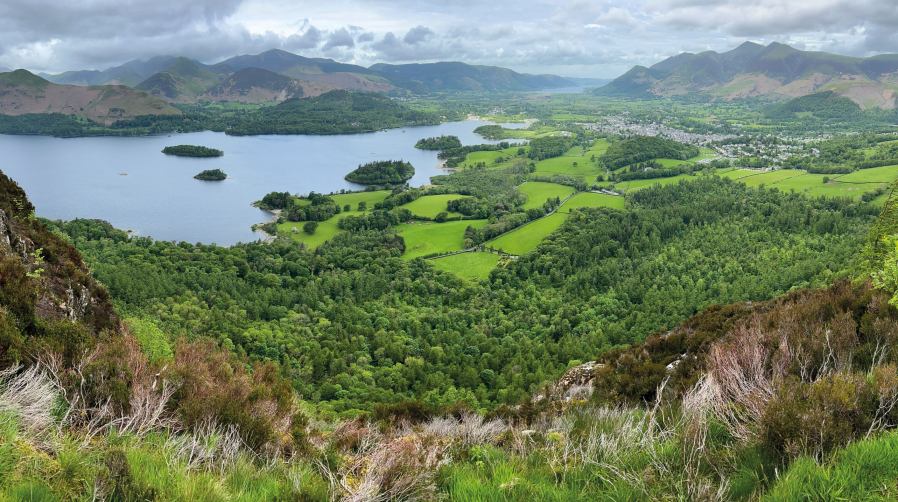
The panorama from Walla Crag is one of the best in the North Lakes.
Credit: Alex Roddie
5. NY276211: A clear trail now heads almost due south towards Bleaberry Fell – at first almost flat before gradually steepening. Some sections of this path were repaired in recent years, making the going a lot easier over areas of peat bog and helping to prevent further erosion. Don’t mistake the first summit for the Wainwright’s true top. There is an unmarked rocky prominence after 1km; the true summit is another 1km beyond this, over flat terrain at first before a much steeper section with some rocky and eroded ground underfoot.
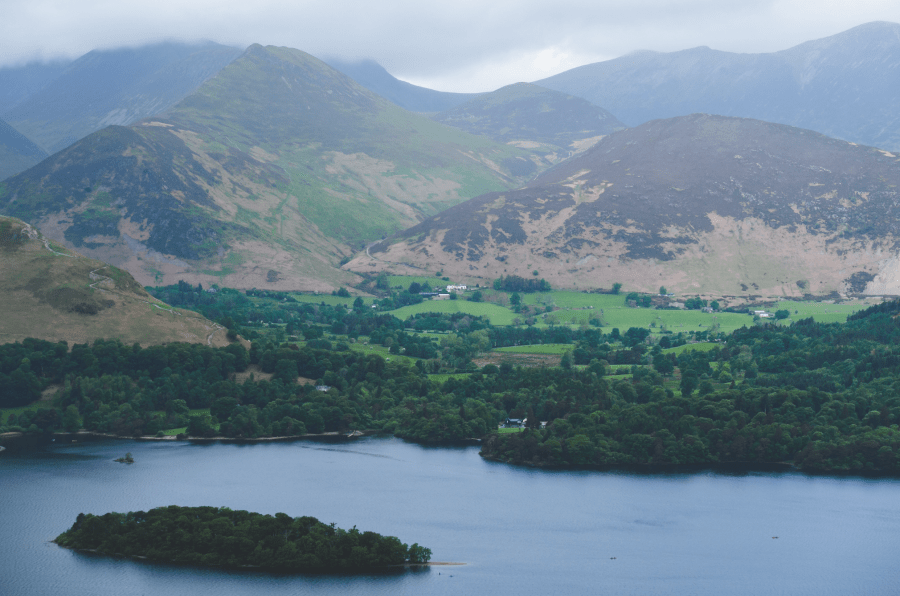
6 Barrow and Causey Pike from Walla Crag.jpg
6. NY286196: From the summit of Bleaberry Fell (590m, substantial cairn / wind shelter) the views are excellent and extensive, particularly out over Derwent Water and north to Skiddaw. It is one of the easiest Wainwrights in the area to climb, and its well-deserved popularity means that there are likely to be others on the summit enjoying the view. Continue on a path heading SE at first before veering due S. There is a gentle descent followed by a largely flat section with minor undulations and hummocks. A few pools and minor streams are passed. Although the path is generally clear, some sections are boggy in all but the driest weather.
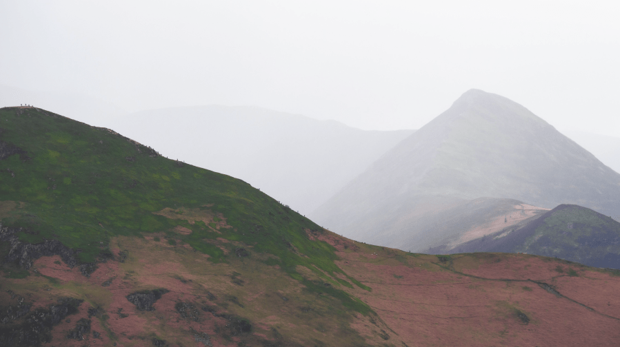
Looking across to Cat Bells.
Credit: Alex Roddie
7. NY287180: After about 1.5km there is a final short ascent leading to the twin top of High Seat (608m). Low outcrops protrude through the heather. In mist, don’t confuse the eastern top (Man) for the summit; although there is a cairn, the true summit is topped by a trig pillar and is a short distance to the SW. After taking in the moorland ambiance, descend NW on a good path that sticks to a vague ridge SW of Ashness Gill.
8. NY278189: At a minor top, Dodd, the descent suddenly steepens and veers right towards the gill before curving back left again. The way down continues steeply until it reaches the road.
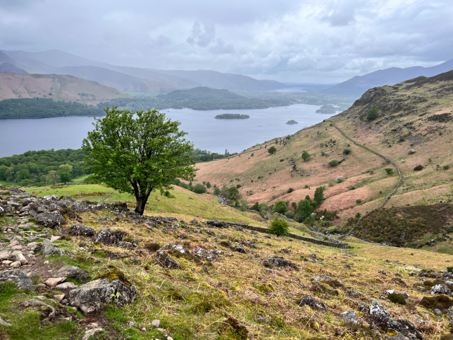
The view from the way back down.
Credit: Alex Roddie
9. NY270196: Turn right, cross Ashness Bridge, and then almost immediately take a footpath on the right-hand side of the road. Do not taking the rising fork; take the line descending slightly. Continue through woods for 1.6km until reaching a crossroads, then go left to rejoin the road.
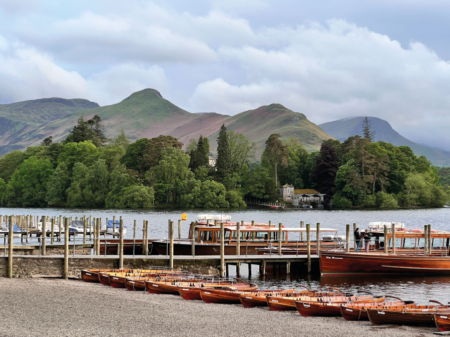
The view over Derwent Water from the landing stages.
Credit: Alex Roddie
10. NY270211: Turn right. A path breaks off from the road and continues around the edge of Derwent Water, passing through a marshy woodland called The Ings to return to the car park.
Further information
PUBLIC TRANSPORT: Keswick is amply served by buses. The walk can easily be begun from Keswick town centre instead of the Lakeside Car Park.
TOURIST INFORMATION: Keswick TIC, 017687 75738
NEAREST YHA: YHA Keswick
Discover more walks in the Lake District as mapped by The Great Outdoors’ expert contributors.


