Can you take on this Dartmoor ‘mystery walk’ navigation challenge set by local Mountain Leader, Emily Woodhouse?
Dartmoor has many wonderful qualities including the proliferation of man made objects, going back as far as the Bronze Age. So many exist that hundreds of precise navigation points haven’t made it onto your paper map. When you mix these geographical features with the lack of distinct paths and tendency towards abysmal weather and you’ve got yourself a great little Dartmoor ‘mystery walk’ navigation challenge – if you know where to look.
This route is designed to be challenging. Every point is a clearly identifiable object not on the map. You’ll know you’ve found it when you get there. You can do the whole route point to point direct with bearing and pacing. I’ve included clues in the route description. These are suggestions if you get stuck or lose confidence. After all, on a navigation challenge like this, GPS is completely banned! All you need is an 8 figure grid. Learning to correct course yourself and fix a miss is a more valuable skill than getting it right first time, so no cheating. Bonus points for doing it in the dark. Good luck!
Dartmoor ‘mystery walk’: challenge description
START/FINISH: Parking at the large pub car park at the Fox and Hounds. This is for patrons only so make sure to grab a refreshment if it is open or stay at the campsite. (GR: SX 5253 8668) | MAPS: OS Explorer OL28 (1:25k) Dartmoor | DISTANCE: 8km / 5 miles | ASCENT: 366m / 1,201ft | DURATION: 4 + hours
1. SX 5378 8625: Arms Tor Millennium Marker – a knee height, round topped, upright stone with the inscriptions L and MM. Clue: make sure your attack point is somewhere you can trust to be correct.
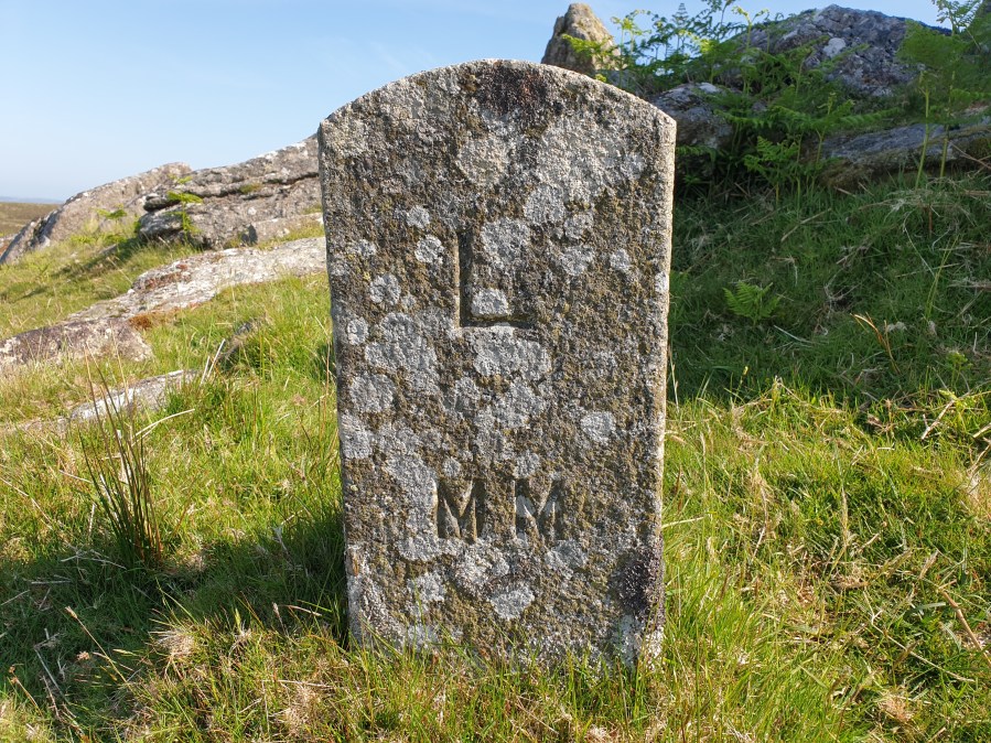
Arms Tor Millennium Marker.
Credit: Emily Woodhouse
2. SX 54798589: Low tumbledown wall in tin mining area – probably part of old mine buildings. Clue: it gets very damp in here so leap frogging or boxing will be necessary in all but the driest weather. There are several good relocation points nearby for a second go.
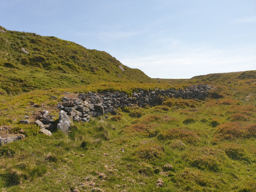
Tumbledown wall in tin workings.
Credit: Emily Woodhouse
3. SX 5513 8539: Flagpole – an upright metal pole, well above head height, used to mark the edge of the military firing range and bears a red flag when firing is on. Check Wilsworthy live firing times online in case you stray into the range.
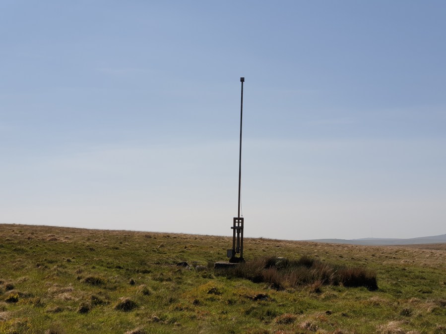
Range flag pole.
Credit: Emily Woodhouse
4. SX 5445 8484: War Department Stone No.16 – a waist height, square cut granite marker stone with inscription WD 16. One of 46 used to mark the edge of land bought by the War Department in 1903. Clue: in daylight think about hand railing options, in the dark beware of difficult ground underfoot.
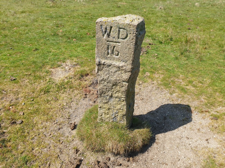
War Department Stone 16.
Credit: Emily Woodhouse
5. SX 5410 8516: TRDC Boundary Post – waist height rough cut granite marker stone with feather and tare notches down one side. Inscribed with TR DC (marking out an enclosure for the water intake for Tavistock Rural District Council). There are four of these stones in close proximity, make sure to get the right one. Clue: think about nearby attack points that are on the map.
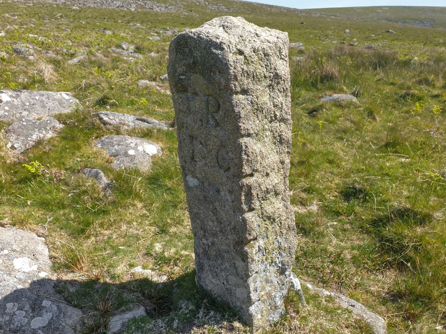
TRDC Stone.
Credit: Emily Woodhouse
6. SX 5351 8558: Feather and Tare Stone – a large (arm span’s width, waist height) granite boulder behind large gorse clump. Marked with distinctive notches along the top edge made by the tools used to split the stone. The other half is nearby in the gorse. Clue: consider aiming off on the linear feature.
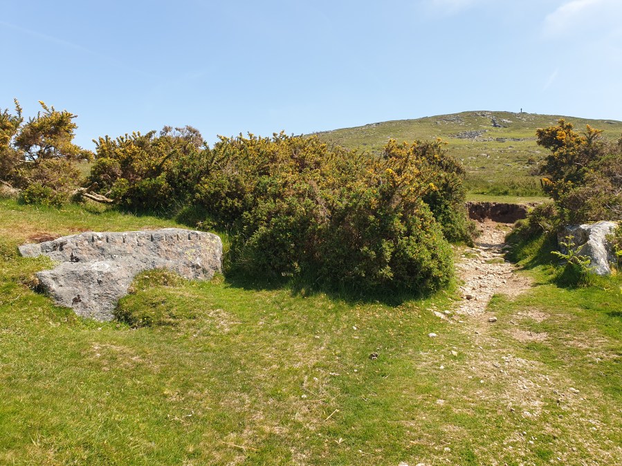
Feather and Tare stone.
Credit: Emily Woodhouse
7. SX 5398 8609: Tree in clitter – a lone tree surrounded by a clump of small boulders, known as a clitter. Lone trees like this on the moor sometimes mark the top of an old mine shaft, planted so the wooden cap wasn’t lost over time. When you’re done, return to the car park.
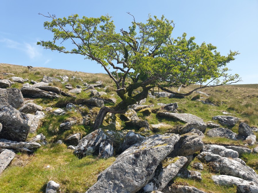
Tree in clitter.
Credit: Emily Woodhouse
Further information
PUBLIC TRANSPORT: Trains to Plymouth or Okehampton as well as a few local buses to Lydford from Okehampton including the Dartline Coaches 118 service.
TOURIST INFORMATION: visitdartmoor.co.uk
NEAREST YHA: Okehampton Bracken Tor
Discover more walks on Dartmoor as mapped by The Great Outdoors’ expert contributors.


