Wensleydale is a grand location for the spectacle of Autumn, argues Ian Battersby.
Hills deliver the thrills most of the time, but in autumn the lowlands carry the flame. Leaves are the magical food factories for plants, capturing sunlight to make sugar, but after the summer, when they have reached their ragged end, their green colour breaks down yielding regal reds, oranges and yellows. It’s a popular time of year as the effect upon the landscape is truly inspirational.
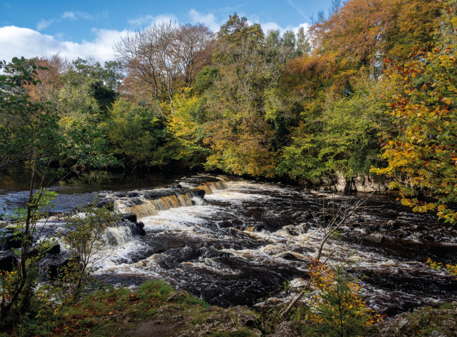
Wensleydale in North Yorkshire excels in this season. The River Ure meanders, hidden between the boughs of flourishing trees and rivers are fine locations for the autumn flush. Stop at Redmire Force where the river thunders over a series of open rocky shelves, and downstream bubbles collect in dark, hypnotic swirls. But, this vale offers so much more. Glacial deposits abound, with compelling oval hillocks flattering much of the valley floor. This rolling landform has thrown a life line for trees that might otherwise have been farmed away. These alluring curves contrast with the stepped terraces above, whose straight lines are also bolstered with the presence of trees. Walk along them to discover a stage overlooking arboreal delight.
Redmire Force and Penhill, Wensleydale: route description
START/FINISH: Layby at Wensley Bridge; SE092894 | MAPS: OS Explorer OL30 (1:25k), Harvey Superwalker XT25 Yorkshire Dales North East (1:25k) | DISTANCE: 18.75km / 11.7 miles | ASCENT: 445m / 1,460ft | DURATION: 5 hours
1. SE092894: Hear generally west from the south end of Wensley Bridge, taking a footpath through mixed woodland of sycamore, birch, beech and ash clustered along the southern bank of the Ure, which flows swiftly, alternating between chatty shallows and silent deeps. The trail soon quits the woods and river to meet a walled lane dipping to the outstanding Lords Bridge. Continue West through pastures as far as a stream crossing beyond a metal gate. The river is home to many mallards, but dazzling white egrets are hard to miss. Flocks of long tailed tits may fill shrubs with piercing notes.
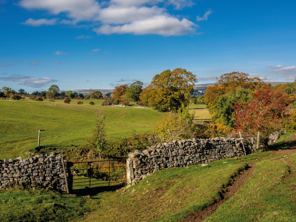
Gate near Wanlass in Wensleydale. Credit: Ian Battersby
2. SE069892: Fork right, heading west north-west, signposted Hestholme Bridge, re-joining the river bending west as it circumvents Wanlass. Pastures sprawl the broad vale, divided by limestone walls and fences, with remarkable numbers of mature trees running the borders and gathered into captivating clusters. Where the river turns north follow it down an embankment, signposted Aysgarth, then cut north-west across the field, soon turning west south-west alongside trees and crossing a track. Now a base tone rumble begins to override routine river rumpus. Bear west into woodland and drop to Redmire Force where the river thunders over a series of open rocky shelves, and downstream bubbles collect in dark, hypnotic swirls. Climb steps south, following the path west south-west to stepping stones at Stony Stoop Lane (track). Continue south-west along the south bank of the Ure through a spindly grove at Adam Bottoms to meet the A684.

Autumn colours at Redmire Force on River Ure. Credit: Ian Battersby
3. SE026889: Follow the road east to Temple Farm. Take the path south-east signposted Templars Chapel past the farm to reach a band of trees. A track climbs west through the trees to the chapel. Follow the path climbing west through a gap in the trees joining a concrete track. Climb south south-west between a barn and an old quarry, turning south to a gate at High Lane (track). Turn left, heading east south-east for 1km to a red metal gate, signposted to Black Scar at Stony gate. Penhill arcs into sky, a prominent face of scars and crags rising from a base of broadleaf trees.
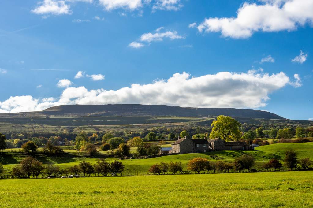
Penhill from Wanlass Wensleydale. Credit: Ian Battersby
4. SE044879: Climb south to the corner of the field, then steeply south-west, bypassing a line of crags, turning south as the gradient eases, then south-east to a wooden gate below Black Scar. Turn left through the gate, following grassy vehicle tracks east with the wall on the left to a line of established trees. Ignore the first gate within the trees, continuing to a second gate in the far corner. Follow Flinty Lane (track) east between walls to Penhill Farm, where the track turns north then east to reach a lane junction. The view ranges across the terraced vale of wood and pasture, and the whole span of Wensleydale and yonder to outlying North York Moors is elegantly displayed.
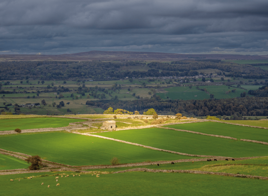
Barn above Nossill Scars Wensleydale. Credit: Ian Battersby
5. SE067874: Head east for 1km along the lane towards Middleham to a gated squeeze stile on the left. Follow the path south, dropping steeply on steps down through Capplebank Plantation, and crossing two fields to a track. Turn east to a pair of gates. Continue east through the left hand gate, with a wall on the right, crossing a field to a house (Top Barn). Head south-east passing right of a wind turbine to reach a red metal gate at a conifer plantation. Follow the northern border of the trees east through two fields to reach a country lane. Turn left dropping back into the depths of the valley to the A684. Wensley Bridge is on the right.
Further information
PUBLIC TRANSPORT: Bus to Leyburn which is 2km away. Bus 156 to Wensley Bridge. (For details see traveline.info)
TOURIST INFORMATION: www.richmondinfo.net, 01748 826468
NEAREST YHA: Grinton Lodge
Discover more walks in Yorkshire as mapped by our expert contributors.

