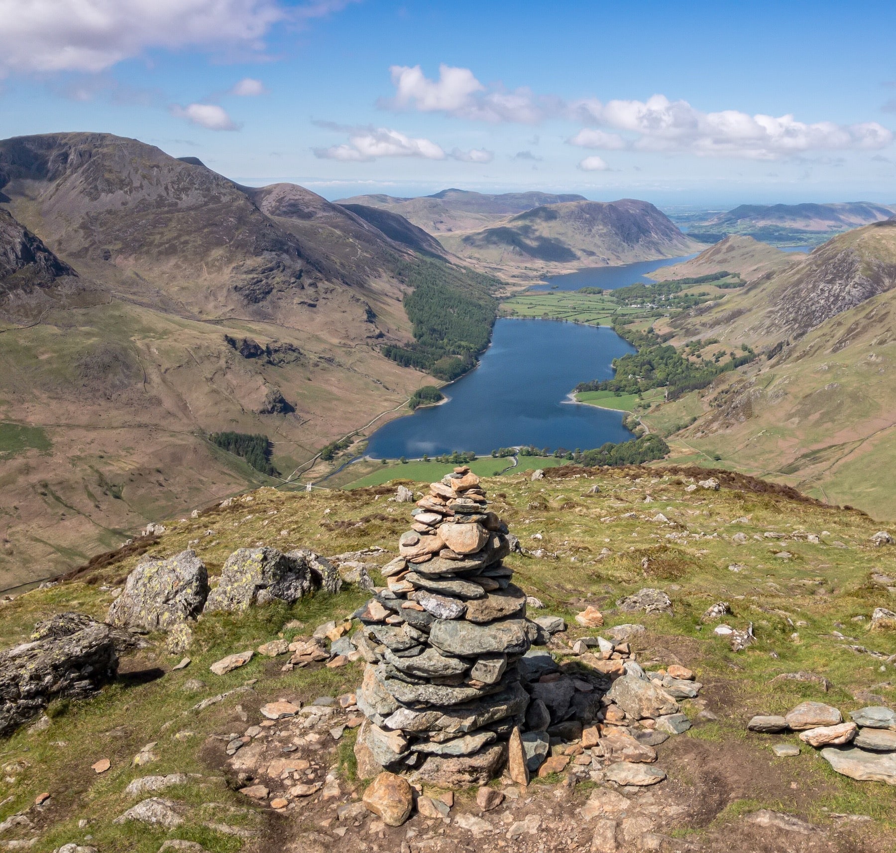
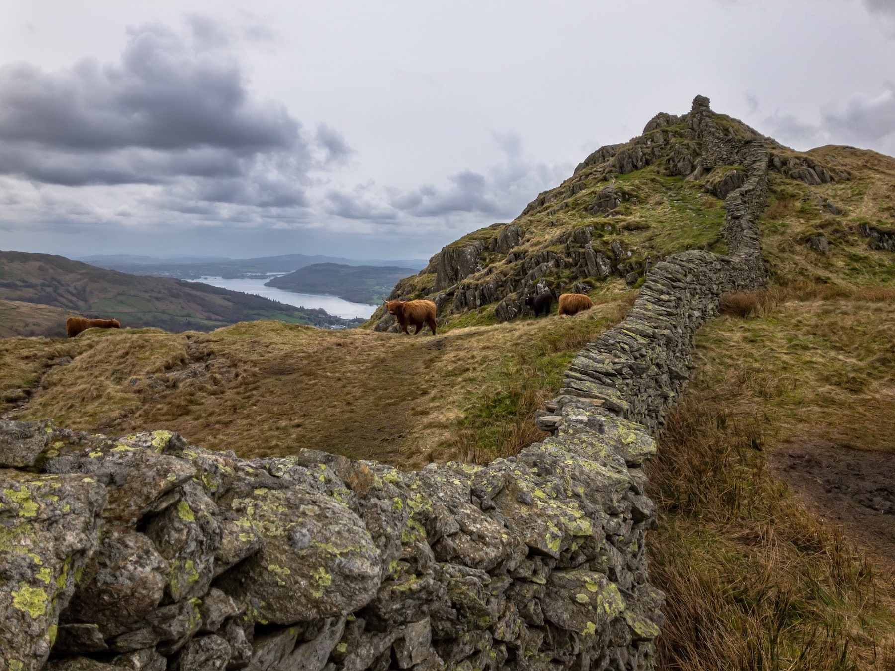
“The Wainwrights are extremely popular and have been hiked, or run, a number of times – but, surprisingly, the Wainwrights and Outlying Fells hadn’t. To me it made perfect sense to combine the two into a 330-fell super-hike.”
In April and May 2018, Colin Ibbotson completed an ambitious long-distance backpacking route in the Lake District, becoming the first person to do a continuous hike of both the Wainwrights and Outlying Fells – 330 peaks in total.
The Wainwrights are famous as the mountains described by Alfred Wainwright in his classic Pictorial Guides to the Lakeland Fells, beloved companions to generations of fellwalkers. While several others have strung these 214 mountains together into a long walk (or run), Colin has found no evidence that anyone else has done a continuous walk of the Outlying Fells: 116 additional peaks depicted in The Outlying Fells of Lakeland.
We enjoyed following Colin’s progress as he hiked, and when he returned we invited him to chat a bit about his adventure. In this interview, Colin Ibbotson talks fell-bagging, flooded tents, and planning mammoth walks.
A note on wild camping
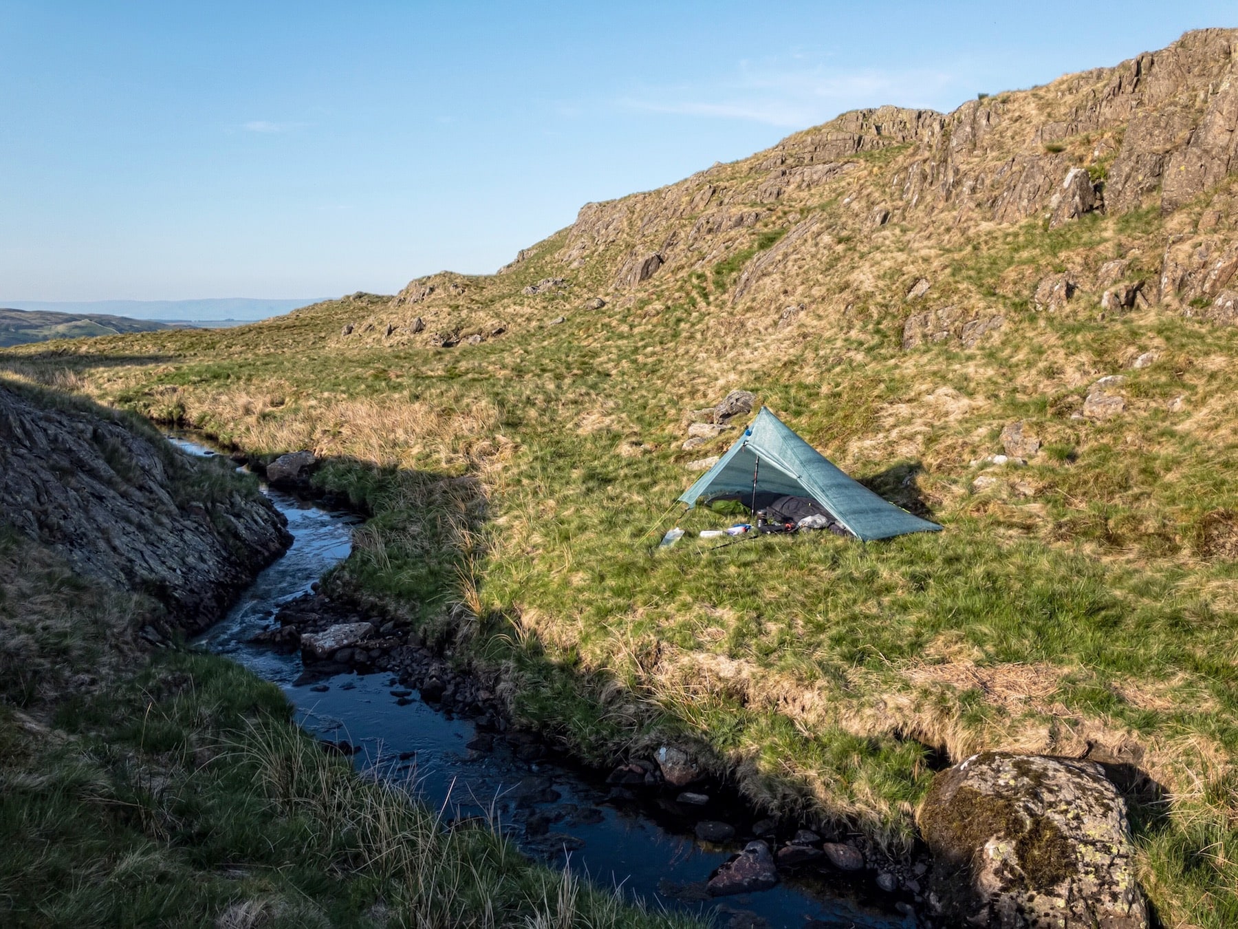
Strictly speaking, wild camping is not permitted in most of England. However, in the Lake District, wild camping is accepted as a traditional part of the British outdoor-going experience. It should be undertaken only in very small groups of one or two small tents, up on the mountains, and you must be meticulous about leaving no trace of your visit. If a landowner asks you to move on, you need to do so. A useful guide to wild camping responsibly has been provided by the Lake District National Park Authority here: lakedistrict.gov.uk/visiting/where-to-stay/
Please introduce yourself. Who are you, and what’s your hiking background?
My name’s Colin Ibbotson, though you might know me as Tramplite on social media or through my website. I was an Aeronautical Avionics engineer for 23 years but in 2012 I decided time was passing too quickly and that I needed to stop thinking about adventures and actually do more of them! I gave up my full-time job, cut back on living costs, and started traveling. Since then I’ve hiked, biked and kayaked for up to six months of the year worldwide.
Hiking is my main passion, and I’ve walked some of the worlds most iconic trails, including America’s Pacific Crest (4,184km) and Continental Divide Trails (5,000km), New Zealand’s Te Araroa (3,062km), Scandinavia’s Arctic Trail (1,113km) and many more. (Ed: Colin’s trip reports are well worth reading, and can all be found on his blog.)
Tell us about your Wainwrights and Outlying Fells walk. When did you come up with the idea, and how much planning did it take? Any unique logistical challenges?
This was an unusual hike for me as I never considered myself a bagger. I couldn’t see the point in climbing a mountain just to tick it off a list! Why would anybody do that? I have even been known to make fun of my bagger friends. It was only when one of them told me I did exactly the same, but with long-distance trails, that I realised I’m very much a bagger but just didn’t know it. Mountains or trails, it makes no difference – bagging is bagging, and we all do it.
My original intention had been only to hike the 214 Wainwrights. For some reason they had always appealed to me. Perhaps it’s because a friend attempted them many years ago, or perhaps it’s because my first longish hike was Wainwright’s Coast to Coast; I’m not sure why I wanted to hike them, but I knew I did. At that point I didn’t even know of the Outlying Fells. It was only when I started route planning that I discovered there was an eighth book in the Wainwright series that contained another 116 fells. I knew immediately I had to add those. The Wainwrights are extremely popular and have been hiked, or run, a number of times – but, surprisingly, the Wainwrights and Outlying Fells hadn’t. To me it made perfect sense to combine the two into a 330-fell super-hike.
“With nearly 60,000m of ascent I wanted to travel light, but this is the Lake District and I was starting in late April, so it could rain for the entire hike!”
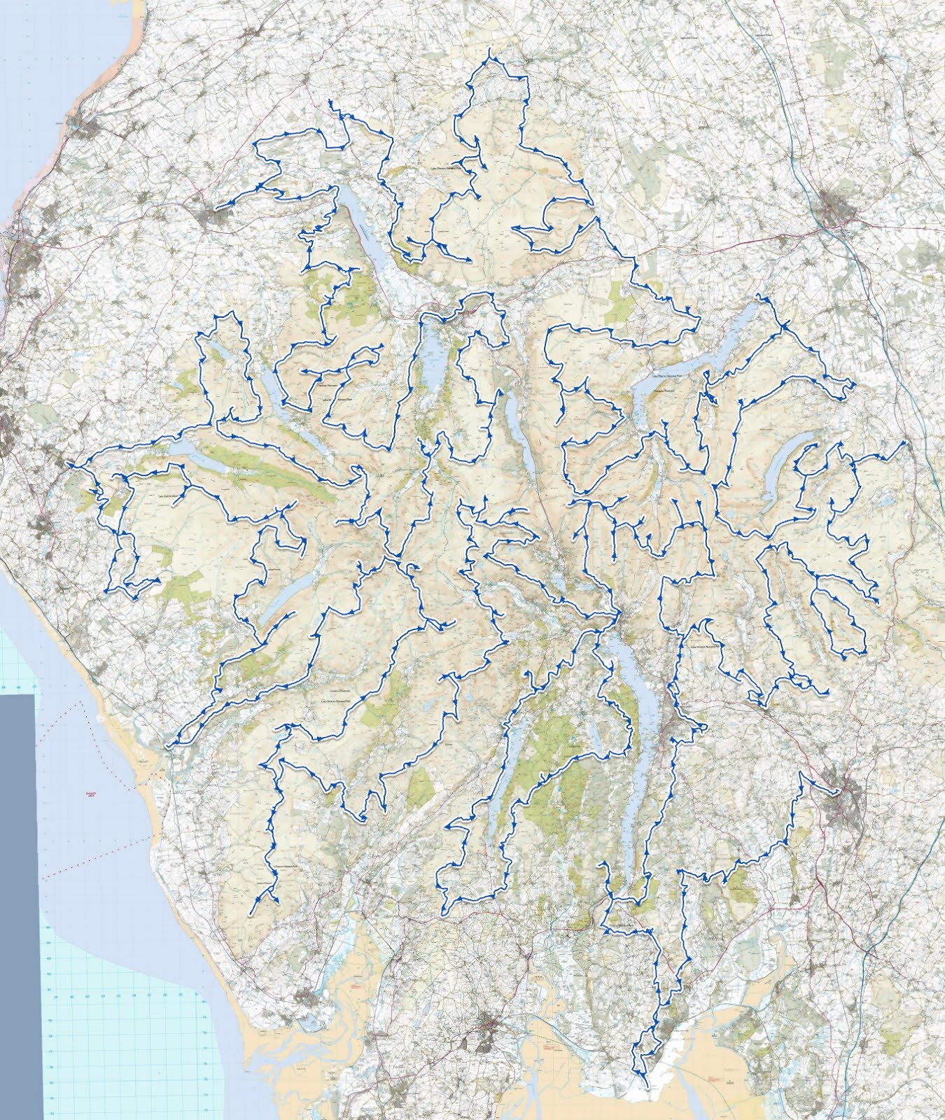
From the start it was clear that success would be in the planning. With 330 fells crammed into such a small area, efficiency would be crucial. Route planning took some six weeks of evenings. I started with fell runner Steve Birkinshaw’s record-breaking Wainwrights route and modified that. His route wasn’t always ideal for hikers – he didn’t have to resupply, he wasn’t carrying a heavy pack, and he probably picked his start time carefully so wasn’t quite so at the mercy of the weather. After I’d sorted his route I added spurs for the additional 116 Outlying Fells. These fells are often in the furthest corners of the park and added a lot of extra distance to the hike. I finished by studying aerial photography for the entire route, as paths and tracks are not always where they are shown on maps, or might not be shown at all. I’m glad I did that, and it undoubtedly saved a lot of time on the actual hike.
Tell us about your gear. Any new or unproven items this time? Did everything perform as expected?
Having hiked so much, I’m fairly tuned-in with gear selection. My job, when I’m not hiking, is custom gear production, so gear choice was relatively easy.
With nearly 60,000m of ascent I wanted to travel light, but this is the Lake District and I was starting in late April, so it could rain for the entire hike! I did travel light and got my base weight down to 4.5kg (excluding consumables: food, fuel, water). I took gear that could cope with very changeable conditions, but what I didn’t allow for was the unseasonably hot weather. Overall I was extremely lucky with weather, It was very wet for the first 10 days and my camp even flooded one night. It also snowed and was cold enough for me to pick up another down jacket in Ambleside, but then the next 3-4 weeks were mostly hot sunshine. It was hot enough that it dried out the worst bogs, and lack of water actually became more of an issue, often forcing me to drop down into the valleys to find it. Had I known it would be so warm, I would have brought shorts and a hiking shirt rather than thick trousers and merino base layer top.
Footwear’s been a challenge for me ever since Inov-8 dropped the iconic Terroc 330 a few years ago. I had used that shoe on every hike (bar one) since 2007, but since they were discontinued I’ve struggled to find a suitable replacement. After trying many different brands I returned to Inov-8 for this hike with the new-style Roclite 315 and was very impressed with everything except the price!
What were the high and low points of the walk – metaphorically, that is?
I don’t remember many really low points, and this hike had fewer than on many I’ve done. Normally every hike has mundane sections; perhaps it’s a long road walk linking sections together, perhaps hiking through a city. On multi-month hikes you can get mentally drained. With this hike I had little of that and was climbing many fells every day, so I always had a reachable goal and mentality that made it easy to keep focused. If you can keep a positive state of mind then you will have fewer lows.
I guess the lowest points revolved around my route selection. My choice up to Whinlatter, from the pass, could have been better. I couldn’t have done it in the wet – it was too steep, too rocky, too loose and a bit scary in places! Likewise, when descending from Carrock Fell there was a 10m wall of impenetrable gorse that needed to be penetrated. I wasn’t too chuffed about that, or ripping my trousers doing it!
“With this hike I was really excited about getting into the furthest corners of the park, places where few ever go”
High points were some of the Outlying Fells and the isolation you could find after a day on the Wainwrights. Some of the Wainwrights were a bit busy for my liking; Old Man of Coniston, on a Bank Holiday Monday, stands out, and the relief of leaving that and hiking over, and camping on the summit of Caw, which I had completely to myself, is something I will always remember. That was special. Kindness from other hikers is memorable too. On the summit of Dodd on a hot, still day I was contemplating where I could find water before tackling the Skiddaw range. It looked like I would have to lose a lot of altitude and refill in the valley, but a group came over and offered me two bottles of frozen water. That was enough to get me through, and while it might not seem much I was overwhelmed with gratitude. Again, that’s a memory I won’t forget.
The psychology of such a complex route must be very different to a simple, linear walk from A to B. Which style of route do you prefer, and why? Did you find it any harder to keep up motivation?
This did concern me and I wasn’t sure how I would like having to backtrack so much. While I tried to keep the hike as linear as possible there where many fells that had to be done on a there-and-back system, and they often required a big drop of altitude only to have to regain it immediately – and of course as it was a there-and-back fell, you did that twice! During planning I tried to find different return routes to keep it interesting, even if the return route was only a few meters away, but in the end I just took the easiest and quickest route. I knew there would be a lot of backtracking before setting off so was mentally prepared for it.
Motivation was easy: every day I was bagging fells, every day I ticked them off on my phone app, every day I was seeing more green pins (fells bagged) than red pins (fells still to bag) in the app. Bagging 5-10 fells most days, progress was always noticeable.
Have you done any other long-distance walks in the Lake District? If so, how do they compare to this one?
I’ve been going to the Lakes for a few years but had seen very little of it. Mostly I’ve used it as training for other long hikes, and I often did the same route just because it fitted in with public transport. With this hike I was really excited about getting into the furthest corners of the park, places where few ever go. Perhaps surprisingly, the Outlying Fells appealed most because I knew many would be remote and not visited often. That proved to be true and I feel a much deeper connection to the Lakes now.
Can you tell us about your future hiking plans?
I’m flying out to Scandinavia in early July to walk Norway end to end. I will start from near the North Cape and finish in either Oslo or Mandal, on the south coast, if time allows. My route passes into Sweden and Finland, but from previous experience Norway has always interested me most and the opportunity to hike it from end to end has always appealed. Some may remember I attempted this last year but unfortunately sickness ended it on that occasion. I’m hoping for better luck this time!
Where can our readers follow your adventures?
I’m fairly active on Twitter and you can find me as @tramplite. I also have a website where you can find out about some of my previous hikes and future plans: www.tramplite.com.
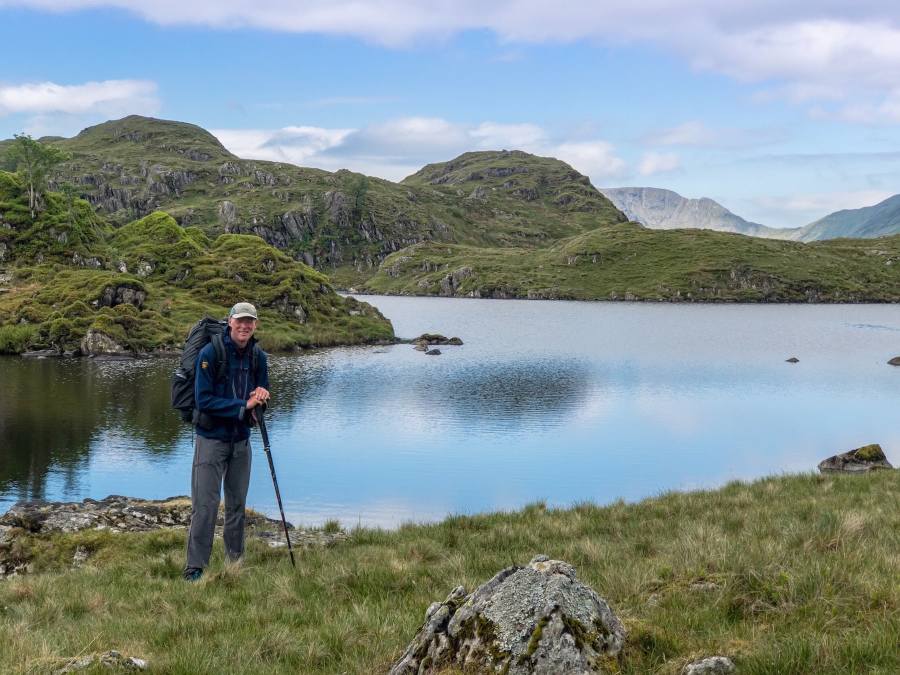
Header image: at Angle Tarn, near Patterdale

