Ian Battersby brings famed mountains into focus from a remote ridgeline quest to Beinn Sgulaird.
The elevated land of legendary Bidean Nam Bian spreads southwest over mammoth lumps and bumps, but these are soon detached by incising glens and gaps and we enter a land less travelled. The last mountain to attain Munro status here is Beinn Sgulaird, isolated on three sides by Glens Creran, Ure and Etive, but dropping a lovely curling, rippling ridge down to sylvan shores. The ridge makes an ideal lofty promenade to the summit, with exemplar panoramas emerging as height is gained.
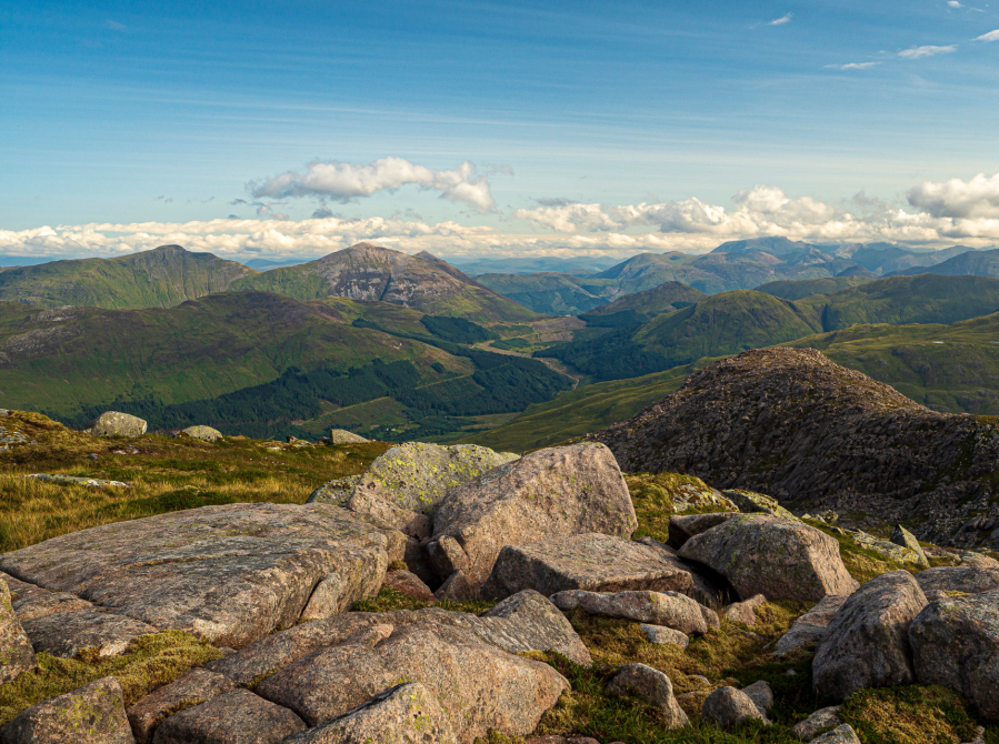
First into the scene is the Isle of Mull seen beyond Loch Creran and cut off from the mainland by the Firth of Lorn. Glen Creran then opens wide, leading the eye a long way north past the Ballachulish Hills to Ben Nevis and friends, while contrasting with the pointed peaks of Ben Cruachan in the south. The best is saved for last with Glen Etive rising up to cut through a horde of mighty Munros. This admirable display develops from Meall Garbh, but becomes the focus along the last mile of climbing, which comes to pause at a rocky podium to deliver resounding appreciation of all these wonders.
Beinn Sgulaird: route description
START/FINISH: Lay-by on lane just N of Druimavuic; NN009451 | MAPS: OS Explorer 377 and 384 (1:25k), OS Landranger 50 (1:50k) | DISTANCE: 13.4km / 8.3 miles | ASCENT: 1269m / 4,163ft | DURATION: 6 hours
1. NN009451: Just a few metres S of the lay-by, where the road bends right, two tracks head S and SW respectively. Take the S track through a deer fence gate and begin a gentle ascent. This soon turns SE, climbing to another deer gate at around 50m. The climb steepens, with the track bending NE to a sharp right hand bend. Continue SSE, climbing gently again for a short distance towards the crest of the ridge ahead. Just before the crest there is a minor path taking to the ridge on the left and marked by a small cairn.
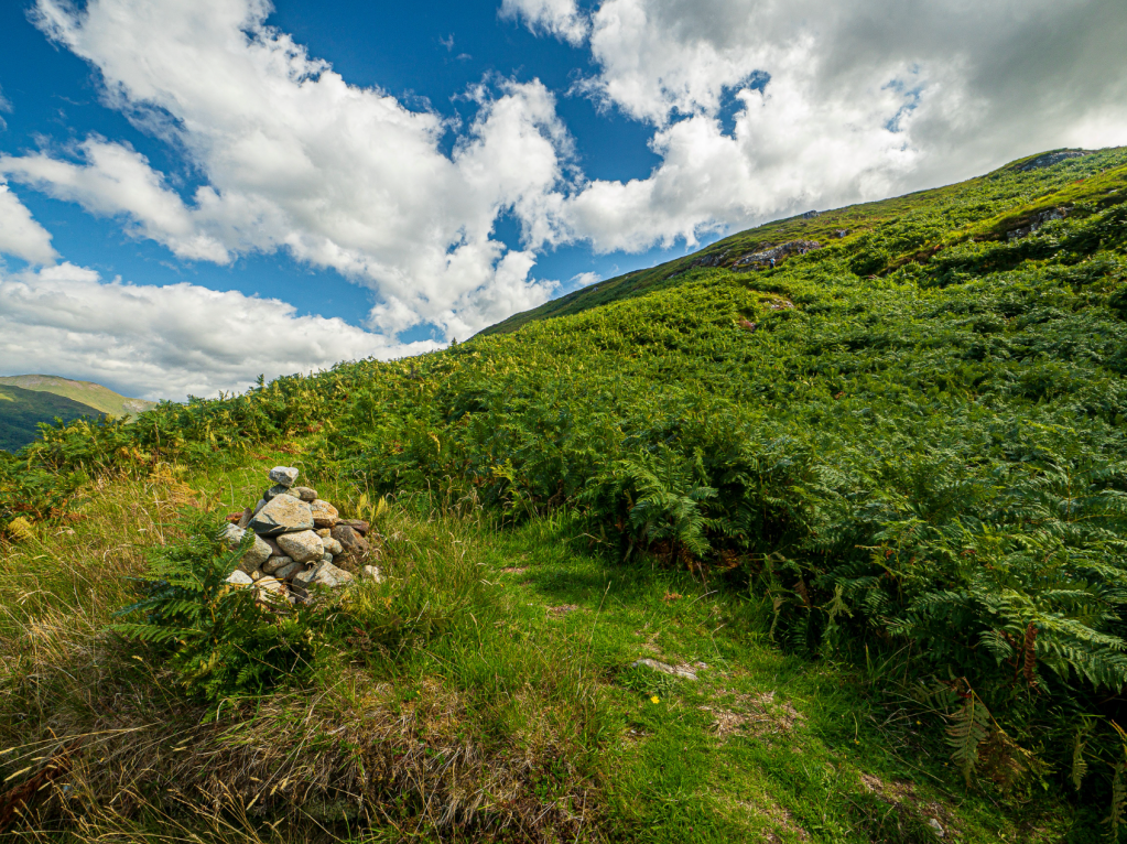
Leave the track for the ridge. Credit: Ian Battersby
2. NN014446: Take the path, which climbs E through bracken up the flank and onto the ridge, which is quite broad hereabouts. Once on the ridge this path continues along its crown, turning NE towards an unnamed top at 488m. Just before this top the path veers right of the ridge, then turns N keeping slightly E of the top with a steep drop down on the right. After passing this mini summit the path drops NNE part way into the dip, then turns S to complete the descent to a col crossed by a fence.
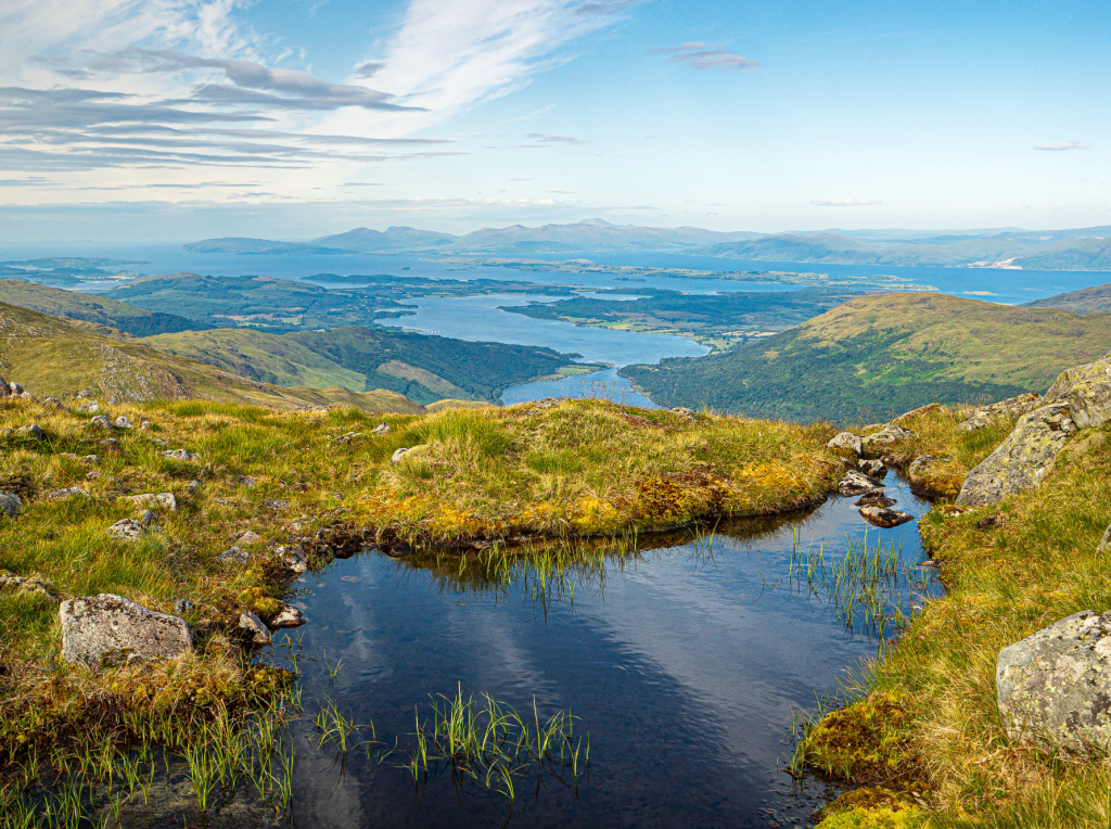
Mull from Beinn Sgulaird. Credit: Ian Battersby
3. NN026450: Hop over the fence and climb ESE very steeply up the ridge on short zig zags to begin with. Continue climbing this broad grassy ridge to a small cairn at about 750m where the main path veers off to the right. Instead take a very minor path left; which climbs over numerous false summits, the ridge getting more bouldery as altitude is gained. Pass a couple of pools just before emerging at a nameless top at 863m and marked by a substantial cairn. Continue a short way along the ridge to a second summit marked by a smaller cairn, still at around 860m.
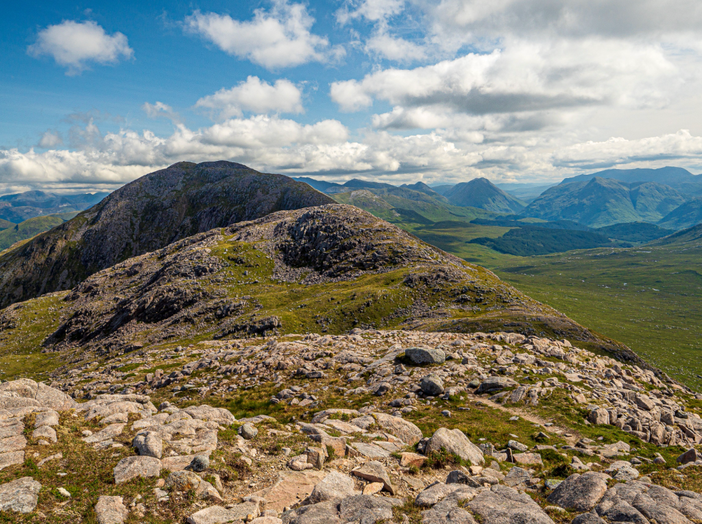
Meall Garbh and Beinn Sgulaird. Credit: Ian Battersby
4. NN044448: The ridge now follows a north easterly direction, with the path dropping steeply down on occasional scree and through a field of small boulders, to a col from where the ascent of Meall Garbh begins. Grass gives way to exposed rock, and there is a little light scrambling to reach the summit marked by a cairn. The path descends over boulders briefly in an easterly direction to another grassy col. Head NE along the slimmer ridge, following it as it bends N. Towards the top the path veers left of the crest before a final clamber over boulders to the summit of Ben Sgulaird, or simply scale the rocks along the crest. A large cairn, which looks like it started life as a stone shelter marks the 932m summit.
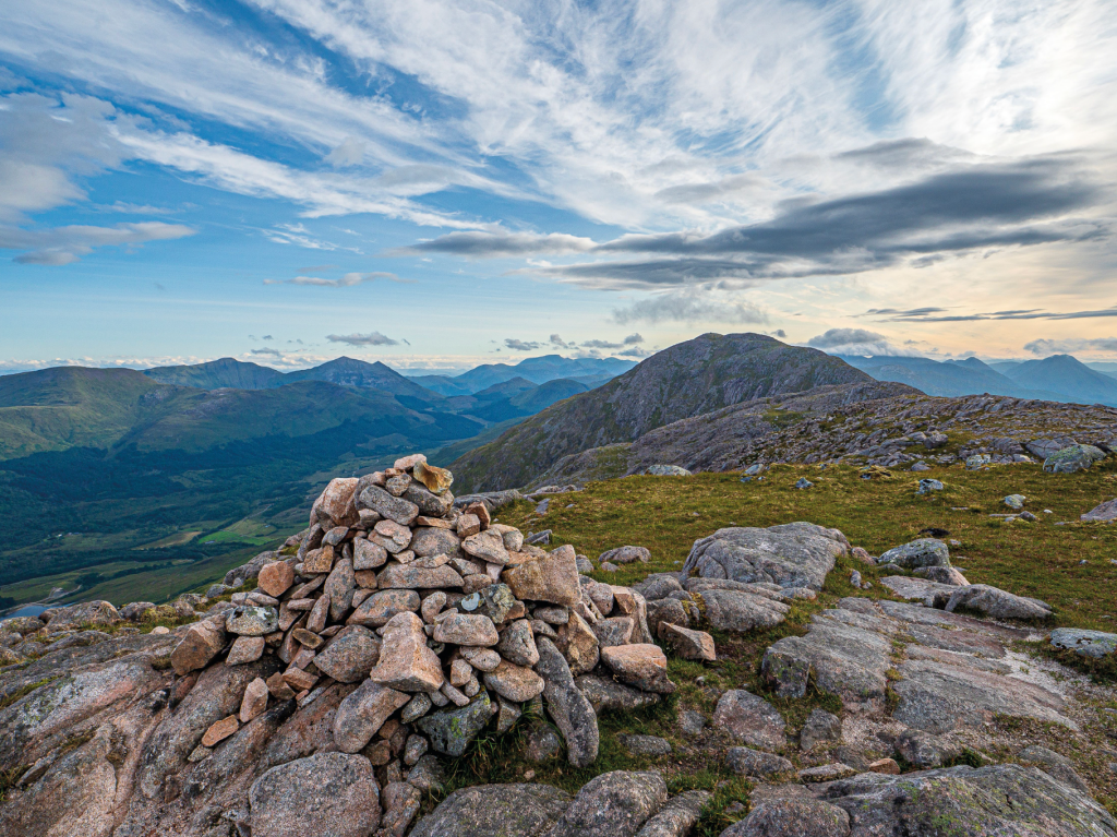
The Summit at 863m. Credit: Ian Battersby
5. NN053461: Return along the outward bound route, heading SW back over Meall Garbh and the 863m unnamed top, before dropping W down to the fence just before the 488m top at waypoint 3. Cross back over the fence, but now take a path heading S down a grassy dip. As this gets steeper the path diverts to the left hand lip of the gill and continues to drop to a cairn by the main track in the valley below.
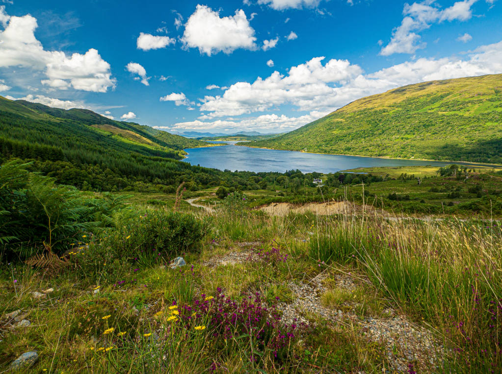
Loch Creran. Credit: Ian Battersby
6. NN023444: Turn right, heading E along the track, to the crest of the outward bound ridge. Here the track turns N to reach the cairn that marked the start of our ridge climb. Continue back down the track, through the gates to reach the road.
Further information
PUBLIC TRANSPORT: None available
TOURIST INFORMATION: Oban iCentre, 01631 563122
Discover more walks in Scotland as mapped by our expert contributors.

