Alex Roddie discovers a striking Alpine-style arête in the Ben Alder area
Start/finish: Culra Bothy (CLOSED at the time of writing), best accessed from Dalwhinnie via the Loch Ericht track. GR: NN 523762
Access notes: The approach from Dalwhinnie is roughly 15km (9.4 miles), making the complete round trip a tall order in a single day, even in summer – unless you use mountain bikes to speed your journey alongside the loch. In winter it’s better to make a weekend of it and camp near Culra. Don’t be tempted to stay in the bothy as it is currently closed by agreement with the land owner.
- Take the path going SW from Culra bothy, on the north bank of the Allt a’ Chaoil-reidhe, and follow it for approximately 2km until you reach the base of Sgor Iutharn’s sharp Lancet Edge.
- Climb the Lancet Edge to the summit of Sgor Iutharn. This is a challenging mountaineering route, steep and narrow in places, and qualifies as an easy Grade I climb when under snow and ice. Not a route for winter beginners.
- From the bealach behind Sgor Iutharn’s minor summit, climb steep slopes to reach the plateau of Geal-Charn. In poor visibility careful navigation will be required here.
- Retrace your steps to the bealach and descend a broad ridge to the pass of Bealach Dubh.
- Follow the path back down to Culra.
Culra bothy may have been closed due to asbestos in the walls, but that wasn’t going to stop me heading into the Ben Alder area for a multi-day trip.
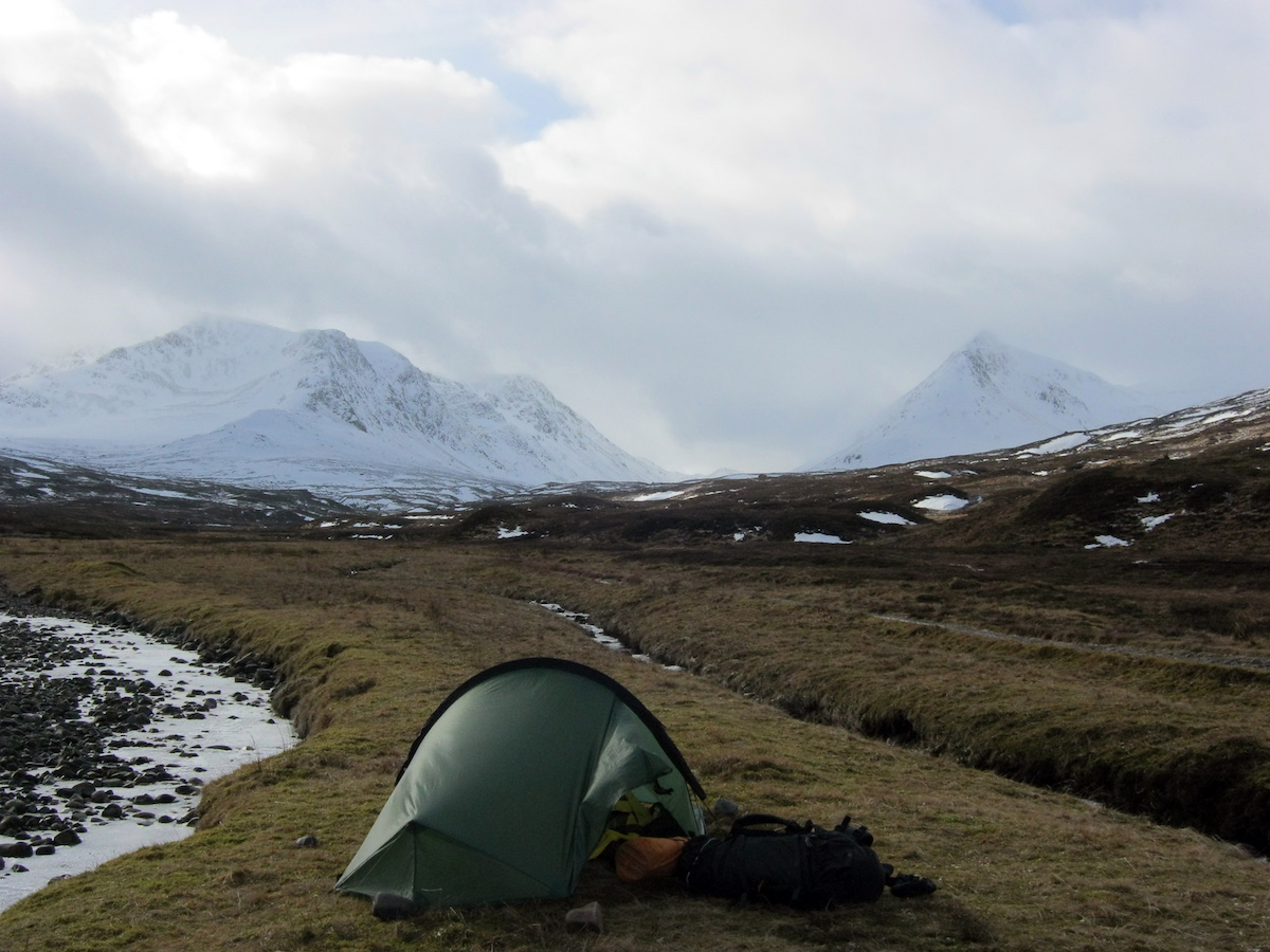
It was February and cold conditions had gripped the Highlands for weeks. I’d longed for a mountain bike – or a lift – on the endless track beside Loch Ericht, a long but easy walk I’ve tackled a few times now, either heading in to Ben Alder or out again on a long-distance walk. Freezing rain had glazed the rutted track and made for slow going; I spent much of my time clinging to rough ground at the edge of the road. The track grew fainter as it struck out over the moor. I passed through herds of red deer, feeding from the same haybales as mountain ponies. Finally I reached Culra, a pair of small buildings nestled in the curve of an icebound river, and pitched my tent before gazing up at Sgor Iutharn in dreamy admiration.
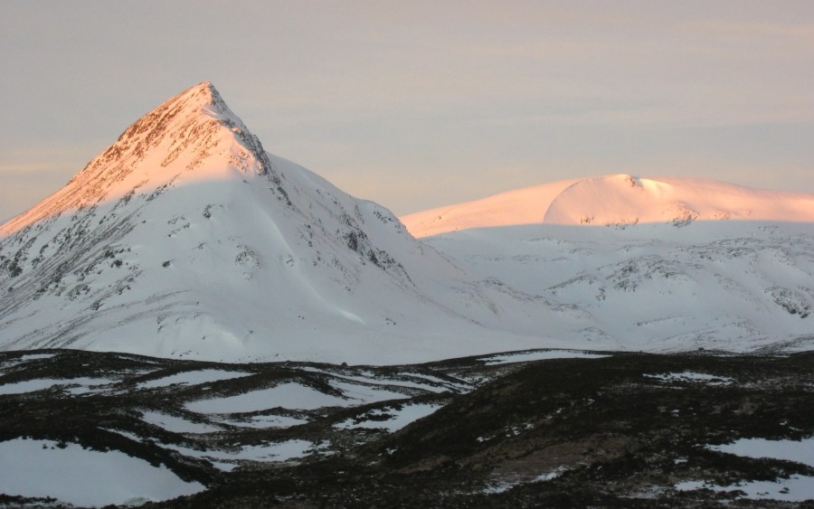
Sgor Iutharn isn’t a Munro, but of such a commanding appearance that it fixes itself in the mind as a necessary objective. The snow arête leading to the summit (which is a subsidiary top of Geal-Charn) is known as the Lancet Edge for its sharpness, and without knowing any details of the ascent I set off just after 7am the next morning to climb this striking natural feature.
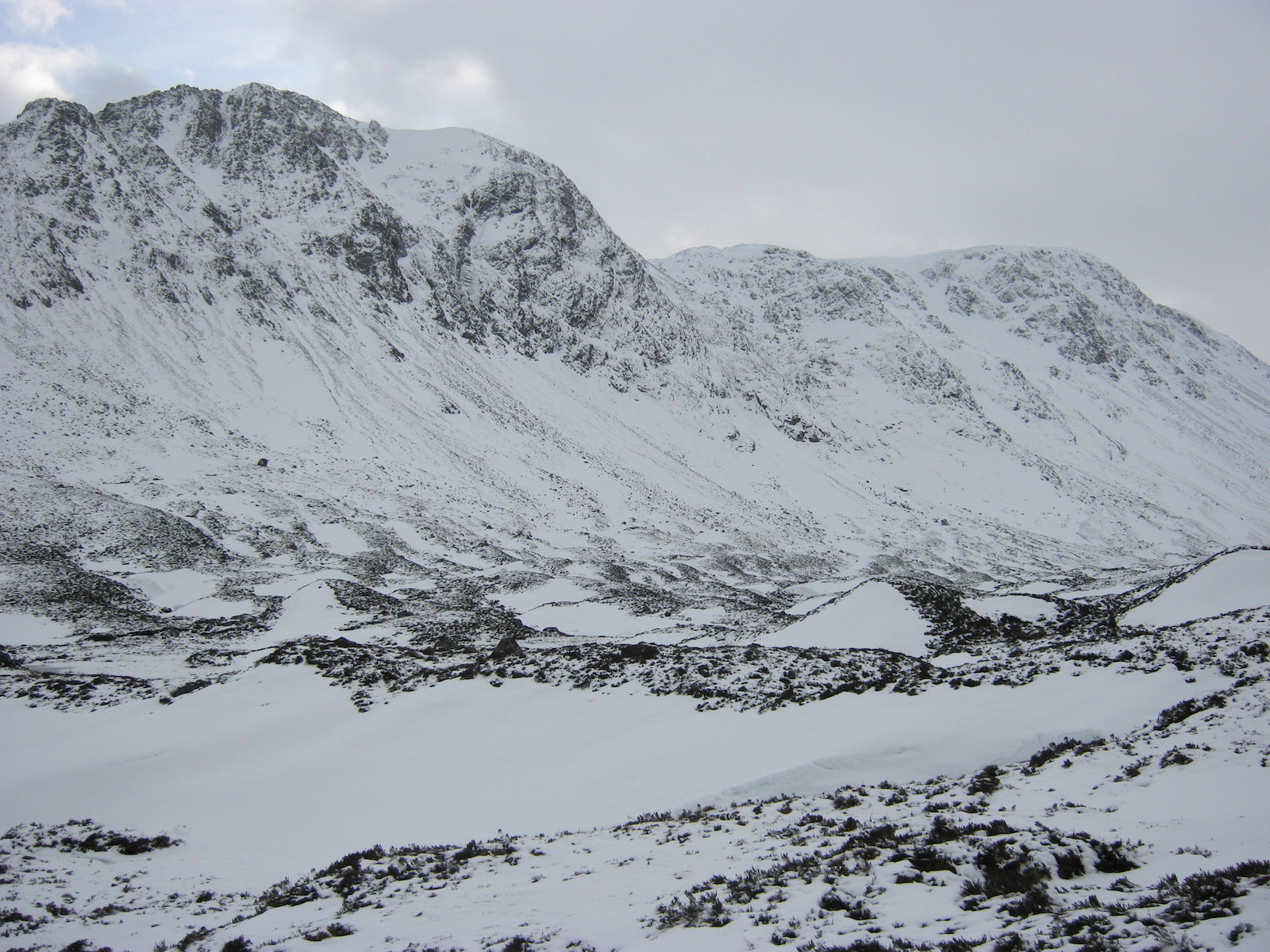
The walk along the Bealach Dubh towards the mountain is an interesting one in its own right, following a frozen river upstream as it winds between ancient moraines. This is the corpse of a glacier, left behind at the end of the last glaciation when the ice steadily receded and left behind the carved-out landscape we know and love today. As I climbed higher I passed some remarkable snow features: crevasses and monstrous cornices in the most unlikely places, the result of a past blizzard. Finally I began the steep climb up to the base of the arête.
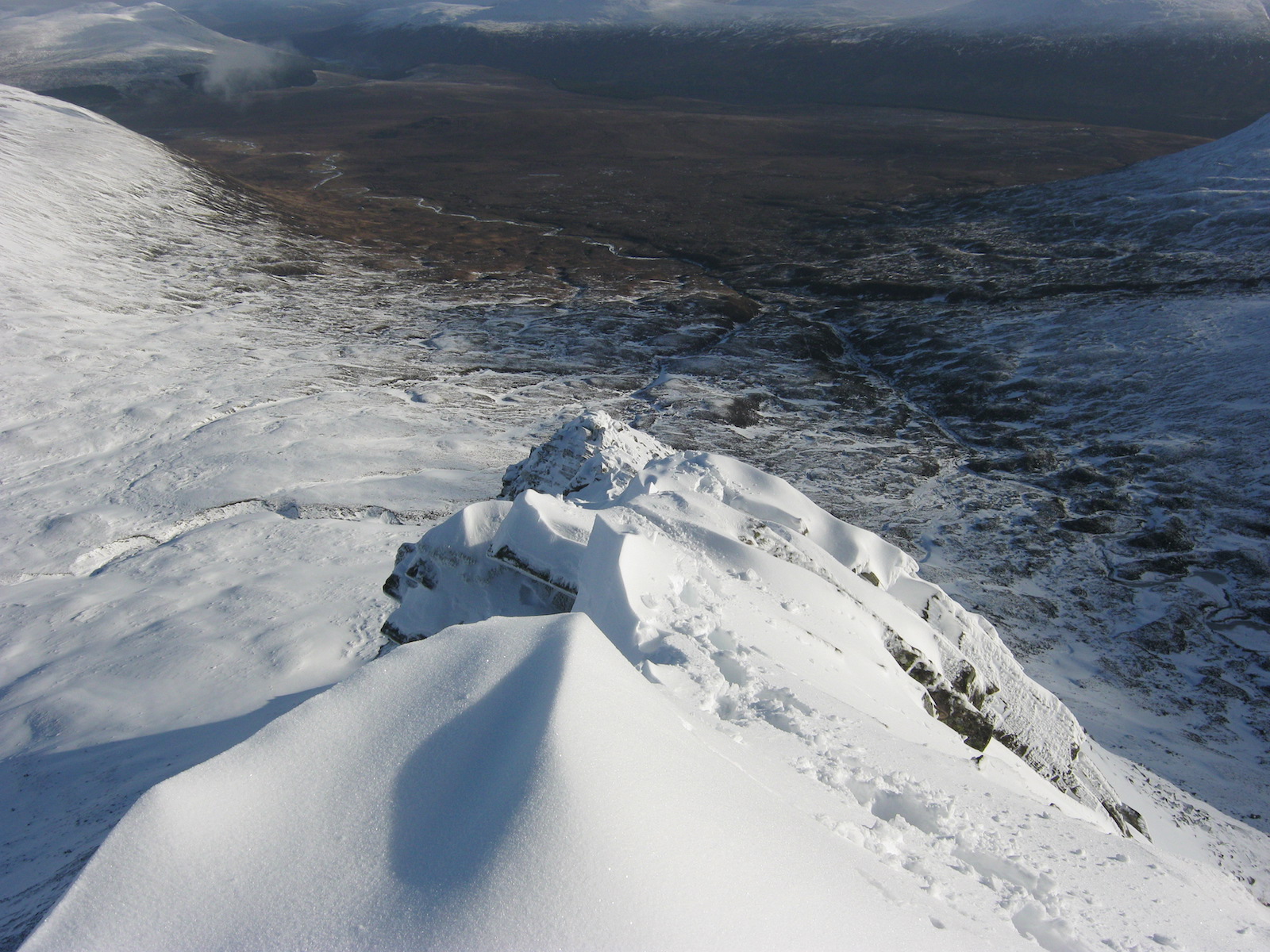
Crampons on and ice axe in hand, I climbed entirely snow and ice (well bonded beneath superficial powder), and the mountain was so buried that hardly a rock protruded. The climb became steeper and steeper but averaged no more than around 35˚ up until the start of the rock ridge proper. Then the fun began!
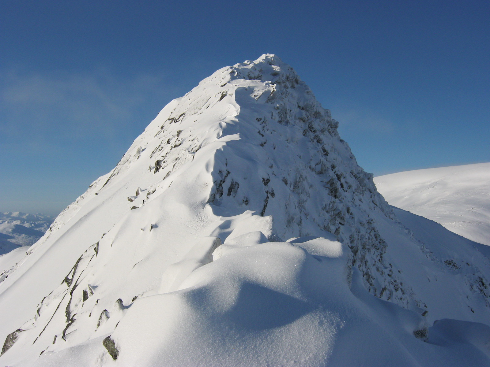
The Lancet Edge has sustained interest, but it’s a good objective for experienced winter mountaineers
I’ve rarely seen an easy ridge so sustained. It reminded me of the CMD Arête, only not quite as long and more ‘up’ than ‘along’; the climbing’s at about the same standard too, with just enough exposure to make things spicy but not so technical you feel the need for a rope or a second ice axe. There are many arêtes in Scotland more difficult than the Lancet Edge, but this one just keeps going! A mixed tower led to a finely carved snow ridge, then cornices, then another tower, and just when I thought the summit was in view, I was rewarded with another long, fine blade of ice and snow. Without being too difficult this amazing route managed to provide enjoyment from valley to summit.
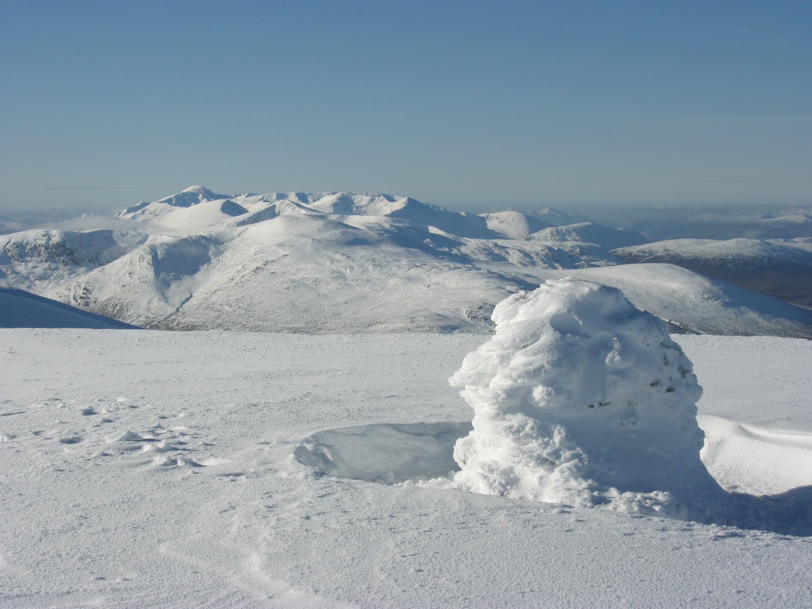
The summit of Sgor Iutharn (1,028m) was nothing special, a small cairn on a flattish plateau with distant views to Glen Coe and the Black Mount. To the south, a massive drop of 600m or so led straight down to the old glacier bed, then up again to the north face of Ben Alder. North-west, Geal-Charn presented an almost unbroken view of pure white.
I dropped down to the little bealach and began the climb up to the plateau of Geal-Charn.
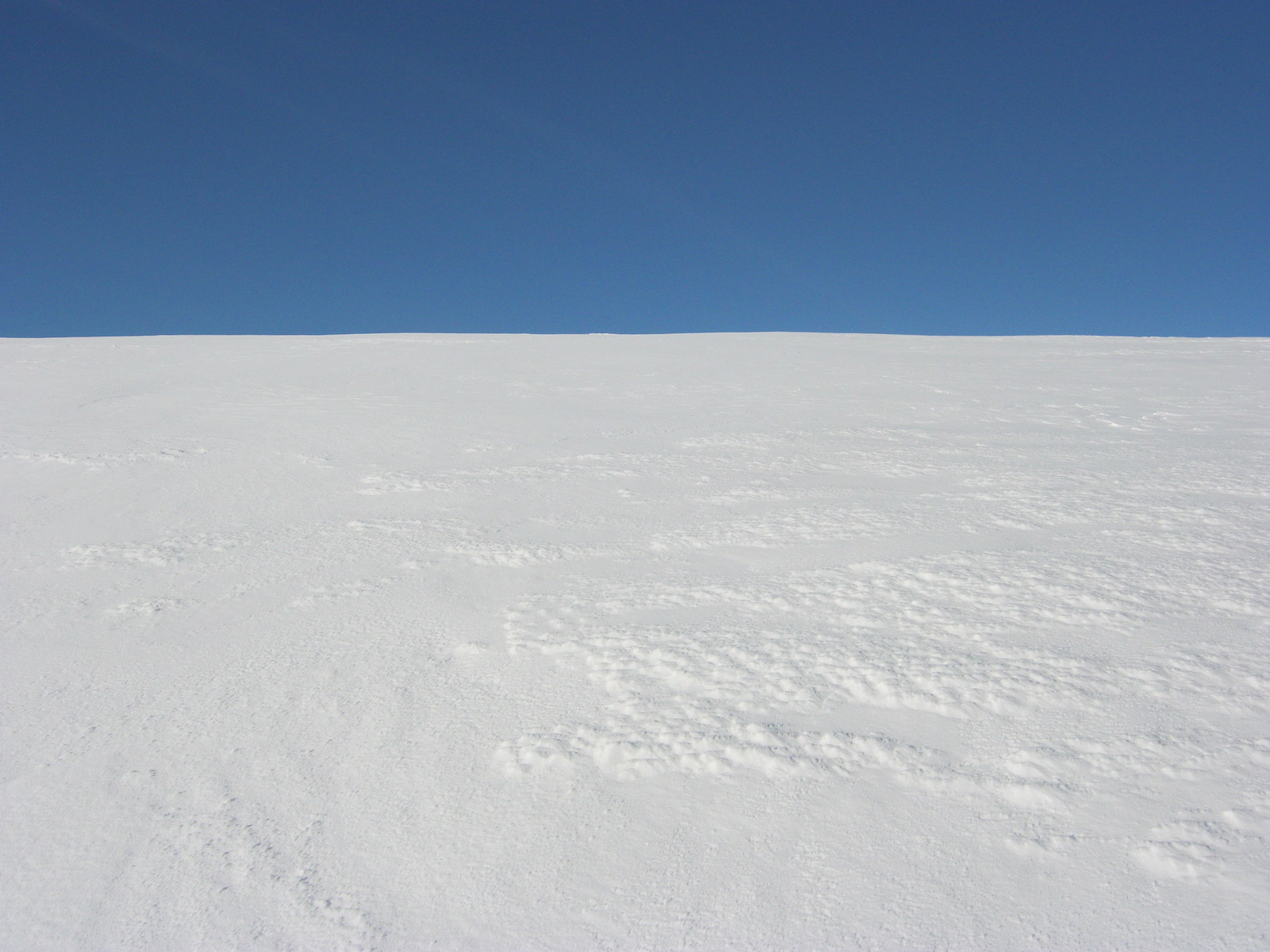
Once again, the depth of snow surprised me. Hardly a rock showed through the pack. I kicked steps up the steepening slope for some time before the angle relented and I found myself in a desert of white, hot and still in the bright sun. Although the temperature was several degrees below freezing I felt myself slowly roasted alive by the sun above and the glare of the snow beneath. I wore goggles to protect my eyes but my nose got burnt!
Even in the Cairngorms I’ve rarely seen a plateau so uniformly white. I walked for half a mile towards the highest point, a little lump hardly 30m higher than the rest of the plateau. I started to notice old friends in the distance, familiar mountains from adventures past: from Ben Lui to the Black Mount, Glen Coe to the Mamores, Ben Nevis to the Grey Corries, dozens of distant peaks brought back happy memories by the score.
The summit of Geal-Charn (1,132m) hardly distinguished itself beyond a simple cairn and an excellent view of the Nevis range. I spent a few moments there before retracing my steps across the plateau and descending to the top of the pass below. It felt very wild, standing on that bleak col miles from the nearest road, surrounded by towering cliffs and utter silence.
All images © Alex Roddie

