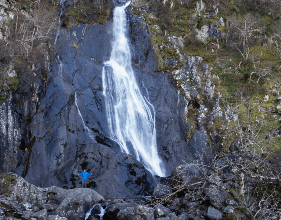
Andrew Galloway escapes on an easily accessible sea-to-summit Snowdonian route past Aber Falls and into the hills overlooking the Menai Strait.
Situated just a mile south of the village of Abergwyngregyn, and easily accessible from the A55 North Wales Expressway, the Coedydd Aber Nature Reserve is one of my favourite locations in Snowdonia. This beautiful glacial valley looks out from the foothills of the Carneddau Mountains over the waxing and waining waters of the Menai Strait, offering a truly sea-to-summit experience of Snowdonia and its Aber Falls.
At the head of the valley stands the craggy peak of Bera Mawr, a challenge for even the most experienced of walkers. Wild ponies roam free on the slopes of these hills, from where the ebullient waters of Afon Goch rise before tumbling one hundred and twenty feet into the valley floor. Rhaeadr Fawr, known as Aber Falls in English, is certainly the star attraction, but there are other treasures here. The extensive woodlands of ash and oak are a haven for a variety of birds and other wildlife. In winter dippers and grey wagtails can be seen hopping from rock to rock beneath the falls. In spring wood warblers, redstarts and crossbills make their home among the coppiced alder trees.
Aber Falls: route description
Start/Finish: Parking at Bont Newydd Abergwyngregyn (GR: SH662720) | Maps: OS Explorer (1:25,000) OL17 | Distance: 14.5km/9 miles | Ascent: 500m/1640ft | Duration: 5 hours
1. SH662720: The footpath to the waterfall is clearly signed from the car park at Bont Newydd. Pass through the iron gate and follow the path for 2km to the foot of the falls.
2. SH668701: Cross the wooden footbridge over the river and climb the stone steps to a view point overlooking the plunge pool of the waterfall.
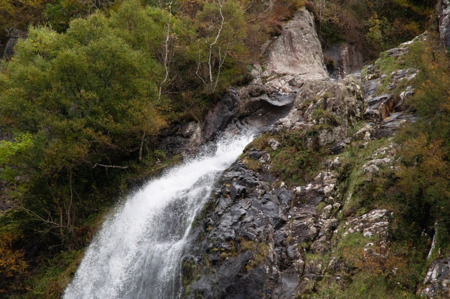
Rhaeadr Fawr, Aber Falls.
Credit: Andrew Galloway
3. SH667700: Follow the North Wales Path westwards for 400m and cross a second footbridge at the foot of a small waterfall.
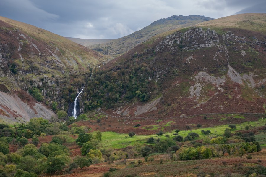
4. SH664699: Continue along the North Wales Path for 2km as it gently climbs the western slopes of the valley. Make sure to turn back at regular intervals for dramatic views of the waterfall. Pass beneath electricity pylons to a plantation of conifers.
Credit: Andrew Galloway
5. SH660717: Keep with the path for a further 500m to reach a field gate.
6. SH657720: Pass through the gate and keep to the North Wales Path as it contours around the headland with breathtaking views across the Menai Straights to the North. After 2km you will reach a disused quarry.
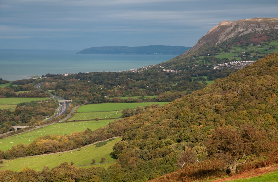
A55 North Wales Expressway, The Great Orme and Penmaenmawr from the North Wales Path.
Credit: Andrew Galloway
7. SH646708: The North Wales Path continues for 2.5km, coiling around a conifer plantation at Nant-Heilyn and descending to meet a minor road at Bronydd Isaf.
8. SH626704: Take the road westwards for 100m then turn right. After a further 100m of road you will see a track on your right. Follow the path for 600m to again meet the minor road.
9. SH629709: Follow the minor road for 1.2km to the hamlet of Crymlyn.
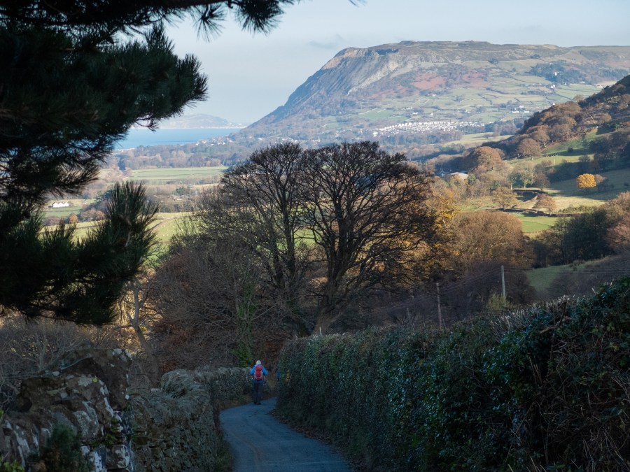
Minor road approaching the hamlet of Crymlyn with Penmaenmawr in the background. Credit: Andrew Galloway
10. SH638715: Where the road branches in the centre of the hamlet take the road to the right, heading eastwards, for a further 600m.
11. SH643718: To your right, you will see a rough track climbing towards Yr Ogof. After just 100m there is a footpath on your left. Follow the path for 1.6km passing the farms of Glyn and Henffordd to the village of Abergwyngrgyn.
12. SH657724: Take the minor road alongside the river for 700m to return to the car park.
Further information
Information: Snowdonia TIC (01766 770274) | Public Transport: Arriva Bus services 5 or X5 stop at Abergwyngregyn
Explore more Eryri/Snowdonia walks, as mapped by The Great Outdoors’ expert contributors.

