A Lakeland ‘hug’ rewards those prepared for complicated route-finding on this hike to the hub of fell country, writes Vivienne Crow.
A Lakeland ‘hug’ rewards those prepared for complicated route-finding on this hike to the hub of fell country. Stand on Sergeant Man, near the centre of Wordsworth’s Lake District ‘wheel’ of mountains, and perform a 360-degree turn… All around, as far as the eye can see, hills march off into the distance. There are few summits that provide such a palpable sense of being enfolded by the fells.
To reach the 736m (2,414ft) summit of Sergeant Man, this route first climbs Steel Fell’s southern ridge – a satisfying approach, mostly on grass but with the occasional rock outcrop to add interest and adrenaline – before heading out across lonely, boggy country enlivened by the presence of small, sparkling tarns. For Wainwright-baggers, Calf Crag is the next of four ticks you can add to your list today. Soon heading off the beaten track again, an intermittent trail then leads up past Codale Head to reach Sergeant Man before the descent along Blea Rigg and then down past Easedale Tarn and the tumbling waterfalls of Sourmilk Gill.
Sergeant Man via Steel Fell: route description
START/FINISH: Layby set back from road on eastern side of A591, 2.1km south of Dunmail Raise; GR NY335096
MAPS: OS Explorers OL5, OL6 and OL7 (1:25k), OS Landranger 90 (1:50k), Harvey 1:25,000 Superwalker Lake District West
DISTANCE: 15.3km / 9.5 miles
ASCENT: 848m / 2,780ft
DURATION: 5¼ hours
1. NY335096: Walk north beside the busy A591 for 180m and then take the first road on the left. Immediately after crossing a bridge, turn right up a lane. At the top, go through the gate on to National Trust land.
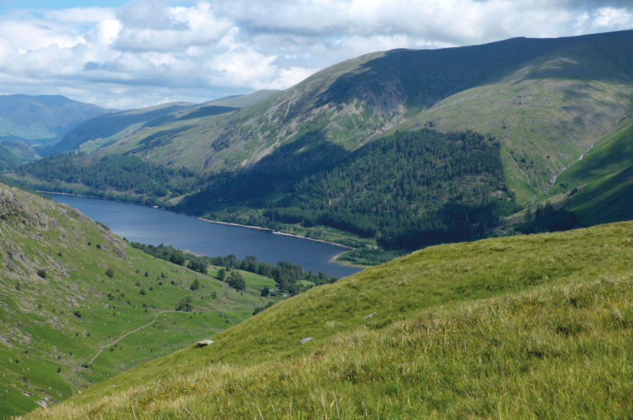
The partially forested slopes on the eastern side of Thirlmere lead up to Helvellyn.
Credit: Vivienne Crow
2. NY329098: Almost immediately, leave the track by bearing right – on a grassy route climbing through the bracken. It follows the line of the wall on the right at first, later passing through a gate in it. Soon after a kissing- gate, the path steepens and climbs around the side of the first of several small crags. There is some rocky ground on the way up, but hands aren’t required. On reaching a small cairn with a rusty fencepost sticking out of it, you get your first glorious view to the north: Thirlmere, Skiddaw and Blencathra are the most obvious features. Bear left to cross to the larger cairn marking Steel Fell’s true summit.
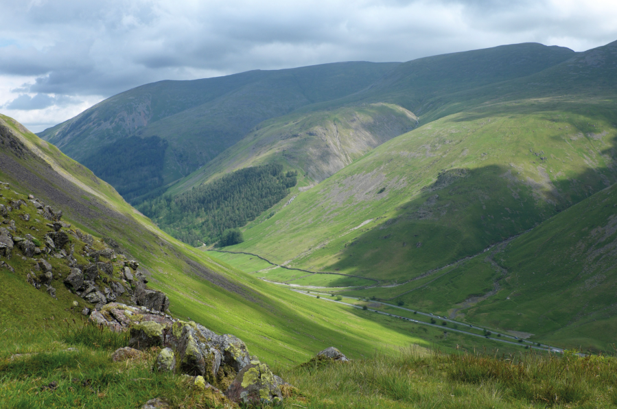
On the climb to Steel Fell, looking across Dunmail Raise towards the Helvellyn range.
Credit: Vivienne Crow
3. NY319111: Descend on a clear path with the fence on your right. Stay roughly parallel with the fence, crossing some damp ground, until it makes a sharp right turn. The path and fence now part company; our route heading west at first along the southern side of the ridge. Pass to the right of a rocky knoll and then to the left of a series of small, shallow tarns. Since the top of Steel Fell, you’ve been following a sporadic line of old fenceposts but, about 140m beyond the little tarns, as the path becomes less distinct, swing away from them slightly. Head south-west, picking up a path that stays about 100m south-east of the fenceposts. The path becomes more obvious as it begins climbing again (south-south-west). It passes to the left of the first obvious hillock on the far side of the boggy area and then climbs to the cairn on Calf Crag.
4. NY301104: Turn right, later reaching a path junction marked by a cairn at the head of Far Easedale. Go straight across (south-west), following a line of rusty fenceposts. You’ll know when you’ve reached Codale Head because a wonderful panorama of mountains suddenly appears ahead, including the Coniston Fells, Crinkle Crags, Bow Fell and, in a few more strides, Scafell Pike. Closer in – just 270m to the south-west – is the distinctive summit of Sergeant Man. Make your way towards this and clamber to the top.
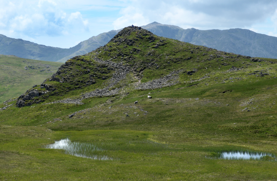
Sergeant Man, with Bow Fell behind it in the distance.
Credit: Vivienne Crow
5. NY286089: Drop back to the base of the rocky dome and follow a path generally south-east on to Blea Rigg, enjoying a superb view of Pavey Ark, Harrison Stickle and Stickle Tarn to the right. Keep to the highest ground as much as possible.
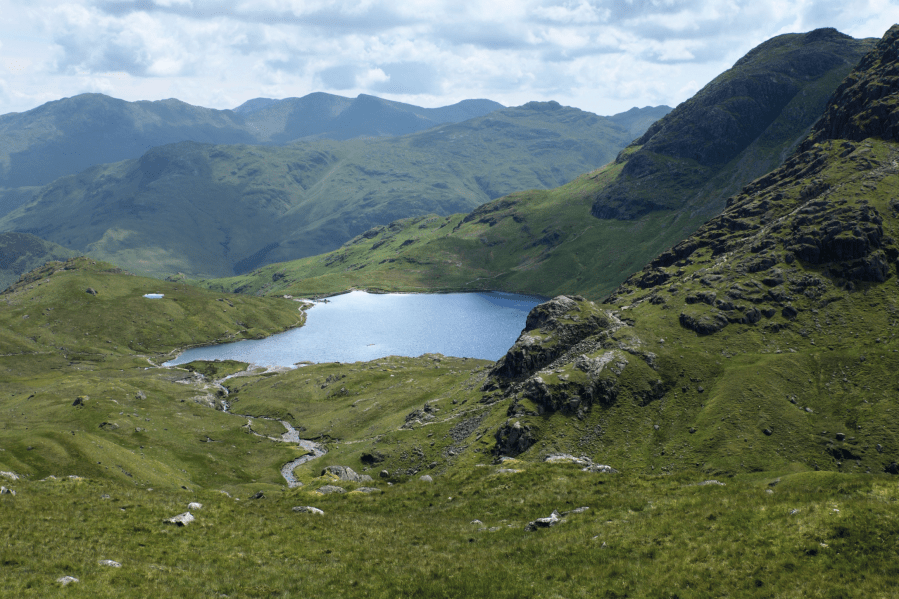
Stickle Tarn can be seen from the Blea Rigg path.
Credit: Vivienne Crow
6. NY303078: Having walked 2.2km from Sergeant Man, immediately after dropping from the rocks at Blea Rigg’s highest point, take the faint trail north across a flat, grassy area. This soon descends more steeply (north-east), later making directly for Easedale Tarn.
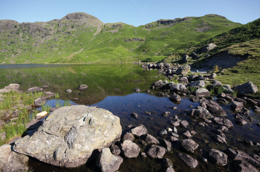
Easedale Tarn.
Credit: Vivienne Crow
7. NY308085: On reaching a junction with a clear path just above the tarn, turn right. Keep right as a trail goes left towards the outlet stream. The clear path later descends beside the waterfalls of Sourmilk Gill.
8. NY324083: When you drop on to a track in the valley bottom, cross the tiny beck and immediately go through the left-hand of the two gates to follow a path downstream beside Easedale Beck.
9. NY330081: Turn right along the road on the edge of Grasmere. In 190m, take the lane on the left. At a T-junction, turn right, crossing Low Mill Bridge over the River Rothay. Go left at the main road and the layby where the walk started is 410m ahead on the right.
Further information
PUBLIC TRANSPORT: Bus 555 (Lancaster/Kendal to Keswick)
TOURIST INFORMATION: Keswick TIC, 0845 9010845
NEAREST YHA: YHA Grasmere Butharlyp Howe
Discover more walks in the Lake District as mapped by The Great Outdoors’ expert contributors.


