James Roddie walks a long way for a remote pint at The Old Forge, commonly credited as Britain’s most hard-to-reach watering hole.
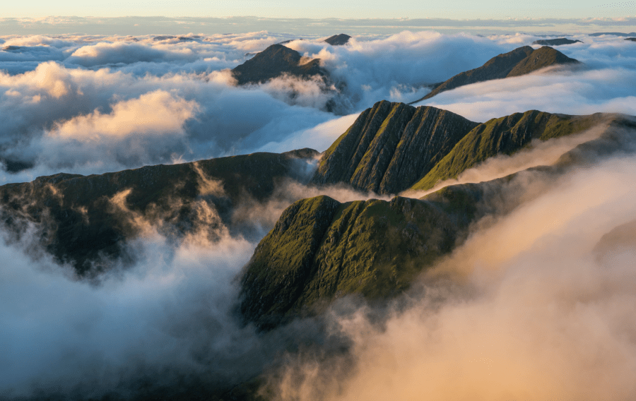
Ladhar Bheinn is one of Scotland’s remotest Munros, and surely one of the most memorable. To reach its summit by any route requires considerable effort, and will involve walking into the heart of the beautiful Knoydart peninsula. This is a unique place with a sad and complex history, but alive with a tangible sense of optimism and community.
Some walkers will choose to approach Ladhar Bheinn via a tough (but excellent) walk from Kinloch Hourn. Most popular, however, is the route described here. A boat trip from Mallaig harbour takes you to the small village of Inverie, where the route begins and ends. Whilst the initial few kilometres of walking are not particularly inspiring, this is quickly forgotten when the views begin to reveal themselves as you gain height. This is one of the UK’s finest mountain landscapes. On a clear day, Ladhar Bheinn’s summit view is amongst the best in Scotland. To reward your efforts, end your walk at the Old Forge Inn in Inverie, for an extremely well-earned pint and meal.
Ladhar Bheinn via The Old Forge, Knoydart: route description
Start/finish: Inverie Pier (NG 7649 0017) | Maps: OS Explorer 413 (Knoydart, Loch Hourn and Loch Duich) | Distance: 13.75 miles/22.1km | Ascent: 4570ft/1393m | Duration: 9 to 12 hours
1. NG 765 002: From Inverie pier, follow the road SE into Inverie village. Just before the Old Forge Inn, turn left onto a forestry track bearing NE, curving round left to head NW. Follow the forestry track past houses and through plantation. After 1km, you will exit the forestry onto moorland. Continue following the track for just over another 1km until Folach Gate, where another forestry track heads off right.
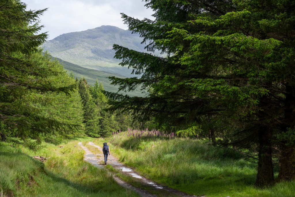
Following the forestry track from Folach Gate. Credit: James Roddie
2. NG 766 027: From Folach Gate, follow the track NE through plantation, eventually leaving the woodland again where the track reaches the banks of the Abhainn Inbhir Ghuiserein river. Continue along the S bank of the river along the track. This becomes less distinct as you enter a small birch woodland. Eventually you will reach a bridge over the river.
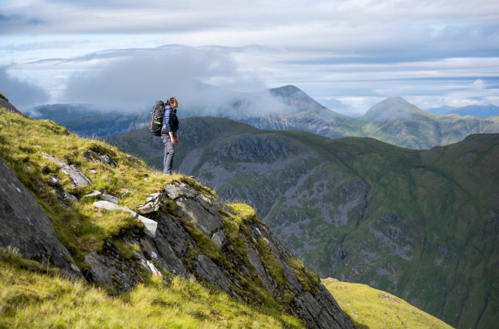
Great views from the bealach. Credit: James Roddie
3. NG 792 033: Cross the bridge and turn E to follow a minor track along the N bank of the river. Follow this for 1km, passing a ruined house on your left. Just after the ruins, the track becomes fainter, but starts to head uphill NE towards the bealach at An Diollaid. Follow the track. This is a slog – you have to ascend approximately 600m over a distance of 1.5km. The terrain gradually becomes a little rockier with height. Eventually you will reach the bealach, where the views N will reveal themselves.
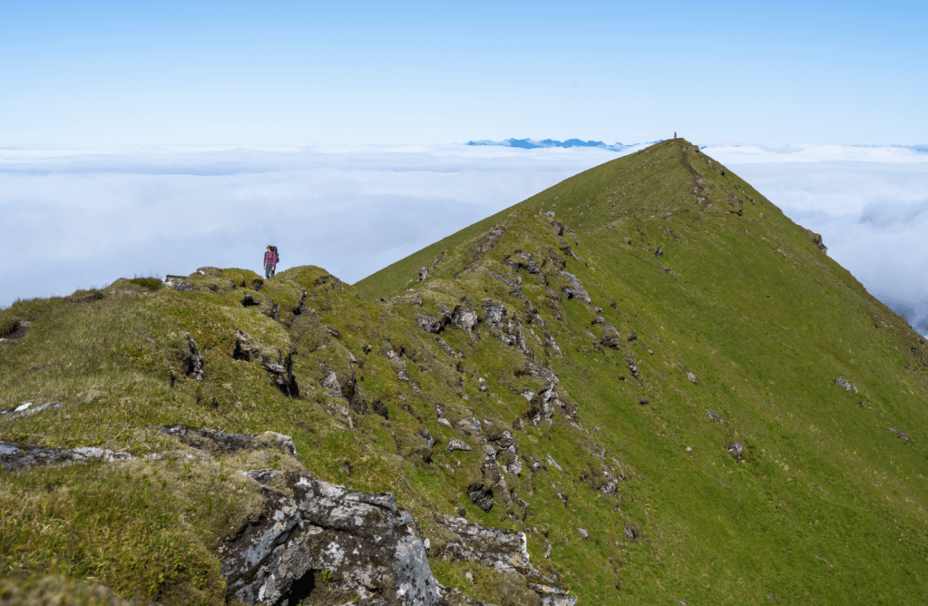
The narrow summit ridge. Credit: James Roddie
4. NG 810 045: From the bealach, pick up a minor track heading uphill, ESE towards the summit of Ladhar Bheinn. Pass around and through parallel bands of rock. It can be easy to lose the track here, but just keep following the line of least resistance uphill. A small lochan at NG 81187 04415 is a good place to refill water if you are running low (use a filter/chlorine tablets). If you are intending to wild camp on the hill, there are a few possible spots to pitch a tent in the vicinity of this lochan. Continue up the shoulder of Ladhar Bheinn’s West ridge until you reach a shattered concrete trigpoint at 1010m. From here the ridge narrows dramatically – follow it SE to reach the true summit at 1020m.
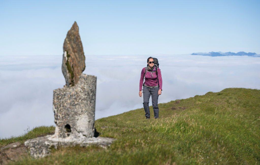
The famous shattered trigpoint. Credit: James Roddie
5. NG 824 040: Once you have taken in the tremendous view from the summit, continue along the narrow ridge to another very minor summit. This is where a very rough descent to Bealach Coire Dhorrcail begins. Descend SE on a minor track, passing some small lochans. From here you must pass over or around several rocky knolls, with some minor scrambling required. This is time consuming! Once at the bealach, ascend to a small summit cairn at 849m.

Great views to Loch Hourn. Credit: James Roddie
6. NG 840 027: From point 849m, descend SW along the Aonach Sgoilte ridge. Before long the ridge splits into two ‘arms’. It is easiest and safest to follow a minor track between them, leading through a gully, before reaching a minor summit at 758m. Continue descending the broad ridge until reaching a much flatter area of peat moorland at Mam Suidheig.
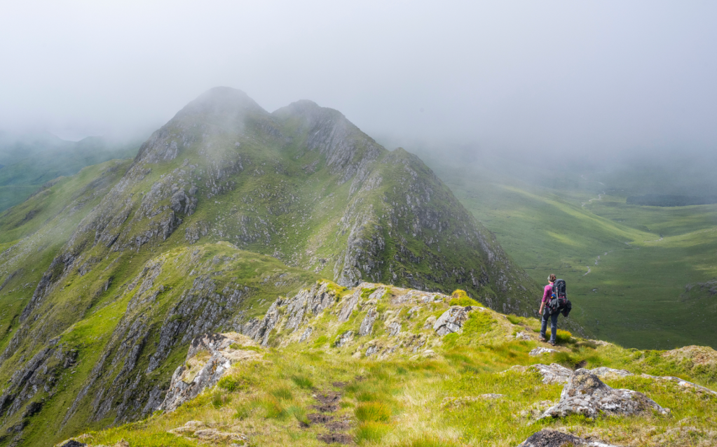
Crossing the Aonach Sgoilte ridge. Credit: James Roddie
7. NG 814 014: It is easy to lose the track on the descend towards the Inverie river. Descend by the path of least resistance, eventually entering a bracken field in the last few hundred metres before you reach the glen. In mid-summer this can be shoulder-deep and infested with ticks and midgies. Reach the 4×4 track in the glen with great relief, and follow it for 4km to reach the woods surrounding Inverie. Continue along the track to reach the village, and get yourself a well-earned pint in the Old Forge Inn.
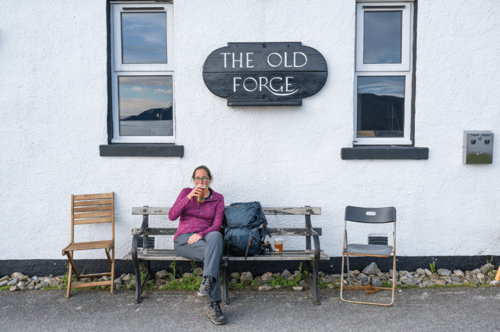
A well-earned pint at the Old Forge Inn. Credit: James Roddie
Further information
Public transport: Mallaig can be reached by train from Fort William. A small passenger ferry to Inverie runs from Mallaig Pier. Inverie can only be reached by ferry or by foot.
Tourist information: visitknoydart.co.uk
Discover more peak-to-pub walks as mapped by our expert contributors.

