Ian Battersby uncovers treasures hiding in the shadow of nine mysterious cairns.
It could be claimed that Nine Standards Rigg makes for a fairly non-descript hill from afar, but its position on the border between Swaledale and the old county of Westmoreland may have saved it from obscurity. The motivation for the famed nine standard cairns perched just north of the summit has been misplaced in time, but they may have been used to mark this border. They can be seen against their skyline here well before reaching the top.
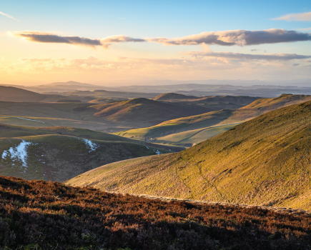
Whatever the reason, the cairns make a unique and fascinating draw, and deliver an all-embracing panorama that ranges from Wild Boar Fell and The Howgills, past the Lake District skyline, and up towards Cross Fell (rooftop of the Pennines). Its western flank is shaped by alluring edges, gills and limestone upstarts, and hidden deep within a wooded ravine Ladthwaite Beck forms an exceptional waterslide at the foot of Ewbank Scar.
All these are visited by this route, and thoughts and photos can be pored over while the landlord pulls pints of finest real ale and hearty meals served by the fireside at The Black Bull in Nateby. There’s plenty of room for chattering groups of rosy hikers.
Nine Standards Rigg via The Black Bull: route description
START/FINISH: The Black Bull, Nateby; NY774067 | MAPS: OS Explorer OL19 (1:25k), OS Landranger 91 (1:50k) | DISTANCE: 16.4km / 10.2 miles | ASCENT: 614m / 2,015ft | DURATION: 6 hours
1. NY774067: Head N along the road from The Black Bull and almost immediately turn right down a track to a lane. Turn R to reach a beck and cross the ford or use the footbridge beyond. Follow the bridleway NNW by the beck, passing the farm and crossing a track to reach a T-junction with the Pennine Journey bridleway. Turn R, heading NNE for 500m to reach the dismantled railway. Just before a bridge turn L through a gate (signed Poetry Path) drop down to the railway, and turn R heading NE under the bridge. Pass benches and an old brick building, then, just before the next bridge, veer L up a path to reach a track over the bridge.
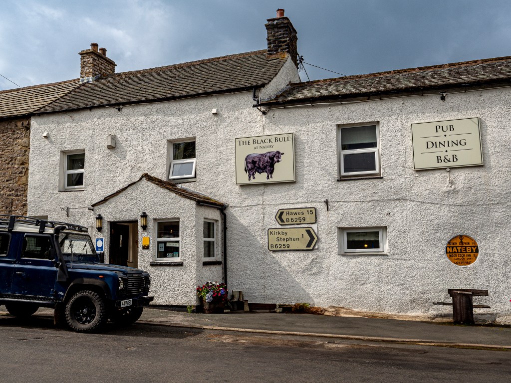
The Black Bull, Nateby. Credit: Ian Battersby
2. NY780077: Turn R over the bridge and take the path by the wall heading SE up to a gate/stile. Continue SE through trees to another gate/stile. Continue by wall between trees, dropping S to use a gate/stile on the L. Bear L through a small gate, dropping down path to a wall. Turn R on a path through the woods marked by yellow arrows with diversions around fallen trees. The path veers S with Ladthwaite Beck on the L, then bends E, passing Ewbank Scar and its surprising water torrent, reached on a small diversion L. Keep climbing E to cross a footbridge and exit the trees at a gate/stile. Turn L immediately through a metal gate and climb NE to an arrowed post. Take the path ESE along the ravine edge. After the trees the path joins the beck, heading NE, then bending R through more trees, heading SSE direct for Ladthwaite Farm using a stile, then gate, then bridge over the beck. Cross and turn R to the farm track at a gate. Turn L, heading N, soon bending E and climbing to a junction of tracks.
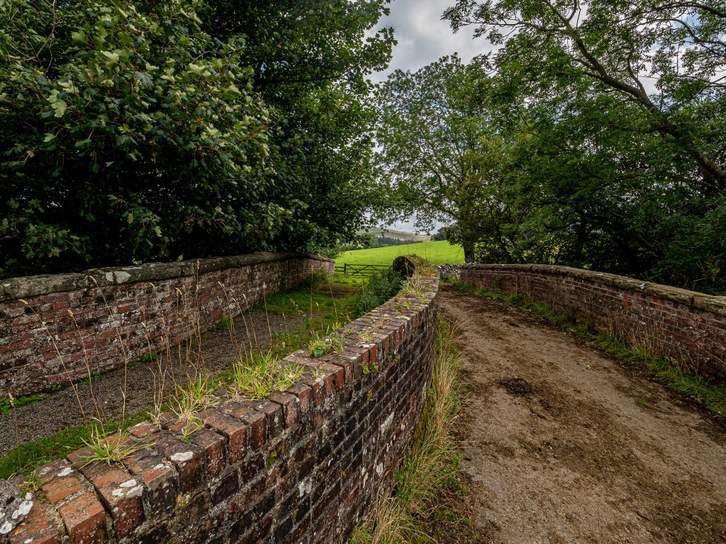
Turn right over bridge south of Rodgill Viaduct. Credit: Ian Battersby
3. NY799075: Use the wooden gate before the cattle grid and climb past gorse to meet a bridleway at a gate. Turn R, climbing SE then S to meet a wall. Follow this ESE past sheepfolds at Reigill, then turning E to a mapped fork with a disappeared bridleway. Fork R, heading SE to reach the next signposted junction (480m).
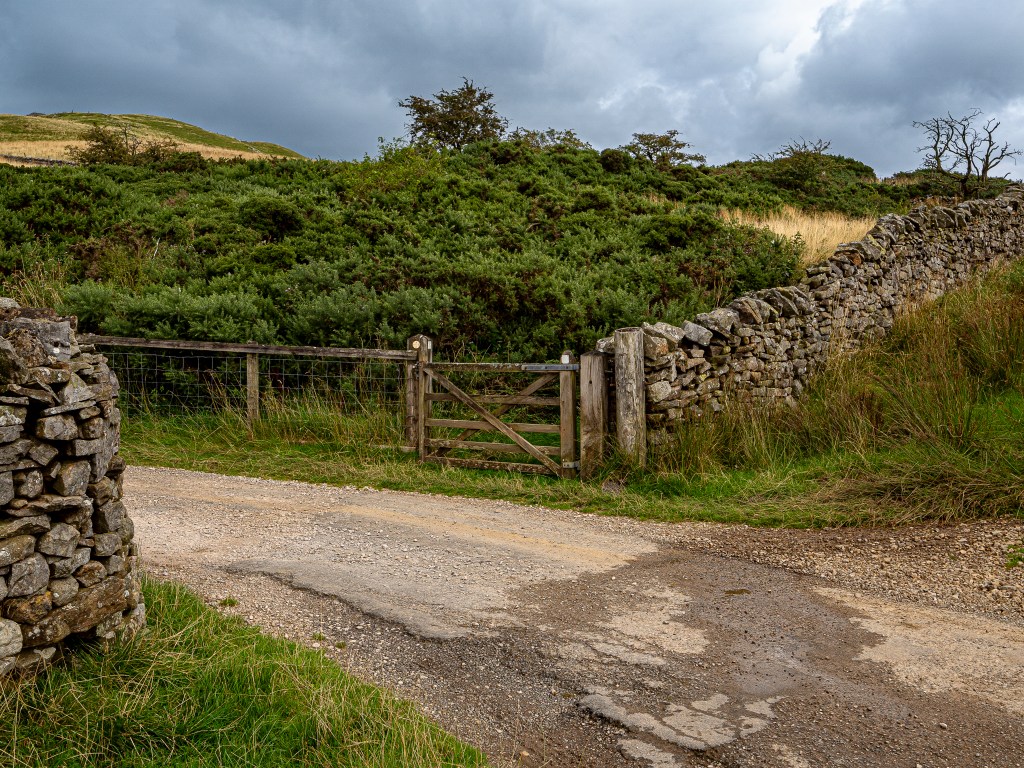
Bridleway gate below Birkett Hill. Credit: Ian Battersby
4. NY810067: Fork L on good path heading ESE for Nine Standards Rigg, through Faraday Gill. At the cairns (650m) follow the path S, passing a viewpoint indicator at a fork in the path. The trig point is a little further S.
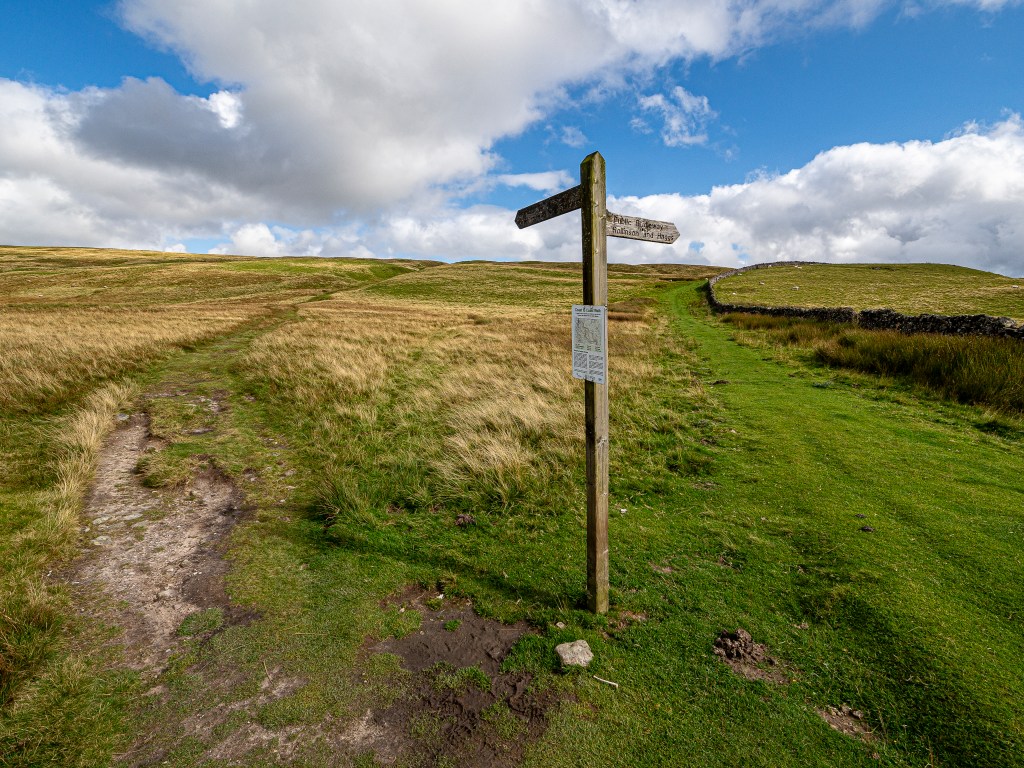
Path through Faraday Gill from Hartley Fell. Credit: Ian Battersby
5. NY824064: From the viewpoint indicator drop SW on minor path, which improves to meet the Coast to Coast path (580m). Continue SW to reach the head of Dukerdale Gill. Cross the gill and take the middle of three tracks, heading WNW directly to Tailbridge Hill (547m) ignoring a right fork. Drop NW down the trackless flank to reach an unmapped track (480m), heading SW to the B6270. Head R along the road to metal rails.
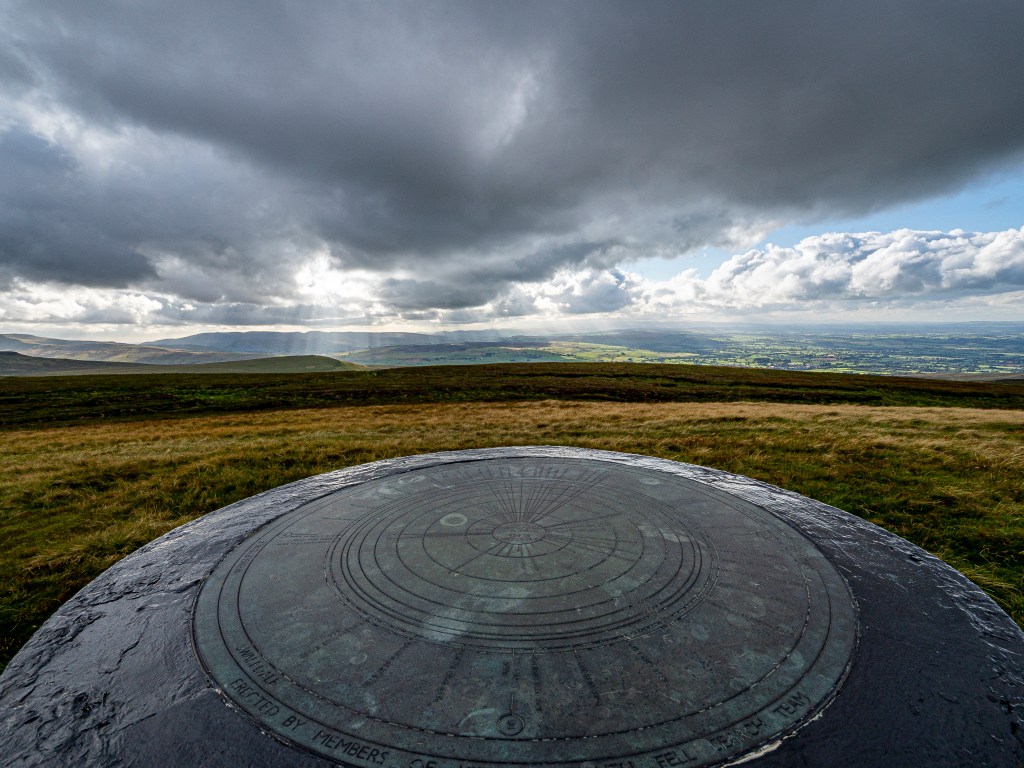
Viewpoint indicator between cairns and trig point of Nine Standards Rigg. Credit: Ian Battersby
6. NY796052: A fading path heads S to a memorial cairn by the beck. Follow the beck SW past a pit and cross the shallow gill. Roughly contour SW then W to reach the northern end of Long Crag. A track drops NW down the ridge to a gate/stile by trees at Hunger Hills (265m). The path continues NW down through a walker’s gate (235m). Ignore a track heading R, keeping L of the beck to a footbridge crossing (230m). Cross and turn L heading NNW through a gate and past the farm, through another gate to reach the road. Turn right for that pint in Nateby.
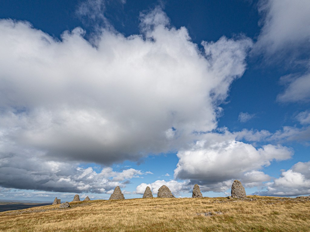
Nine Standards Rigg. Credit: Ian Battersby
Further information
PUBLIC TRANSPORT: Trains to Kirkby Stephen Station within a mile
TOURIST INFORMATION: Kirkby Stephen, visituppereden.org.uk, 017683 71199
Discover more peak-to-pub walks as mapped by our expert contributors.


